
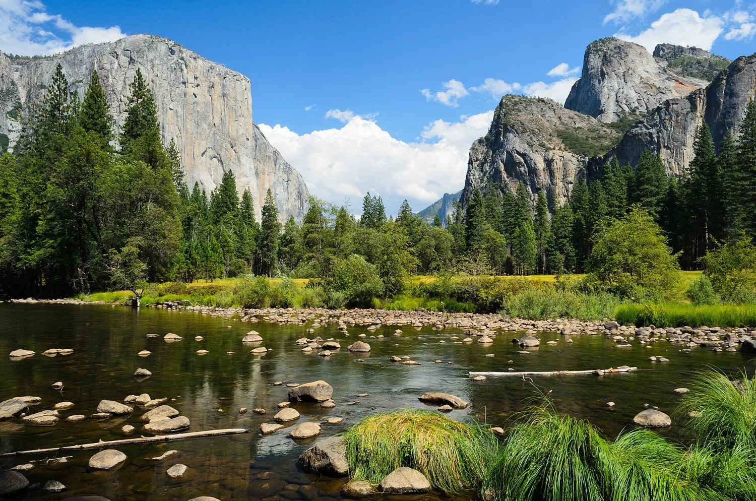
 Granite · waterfalls · valley walks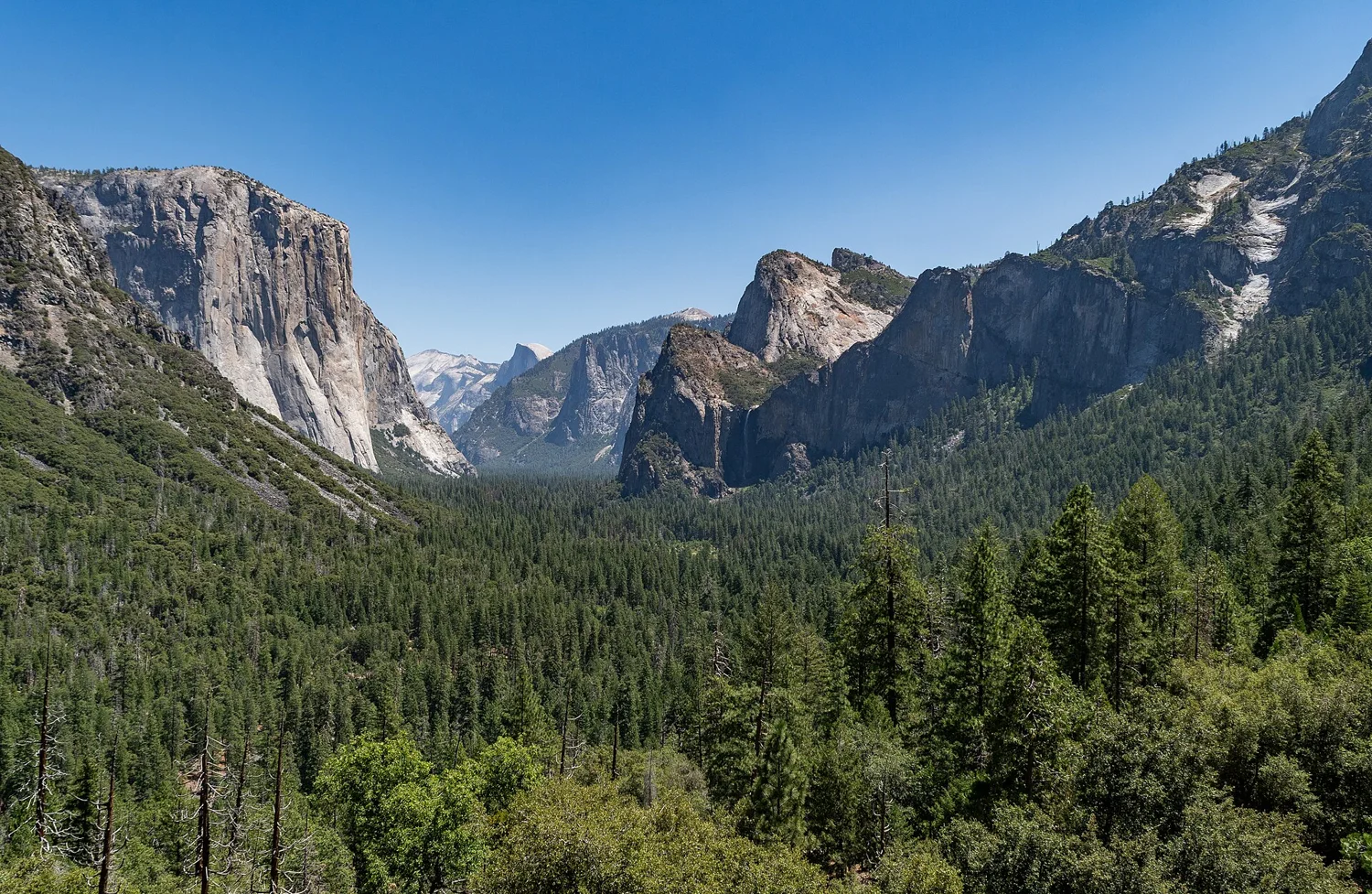
Explore California
From granite peaks
to Pacific evenings.
Coast roads. Giant trees. City tables.
Make room for California’s changing landscapes.
The Golden StateCA
The California feeling
Leave room for a good discovery.
Start with the place that pulls you in. Connect the rest at your own pace.
Five directions
Find your California.
Open a guide, save a stop or connect a few into one trip.
Granite · waterfalls · valley walks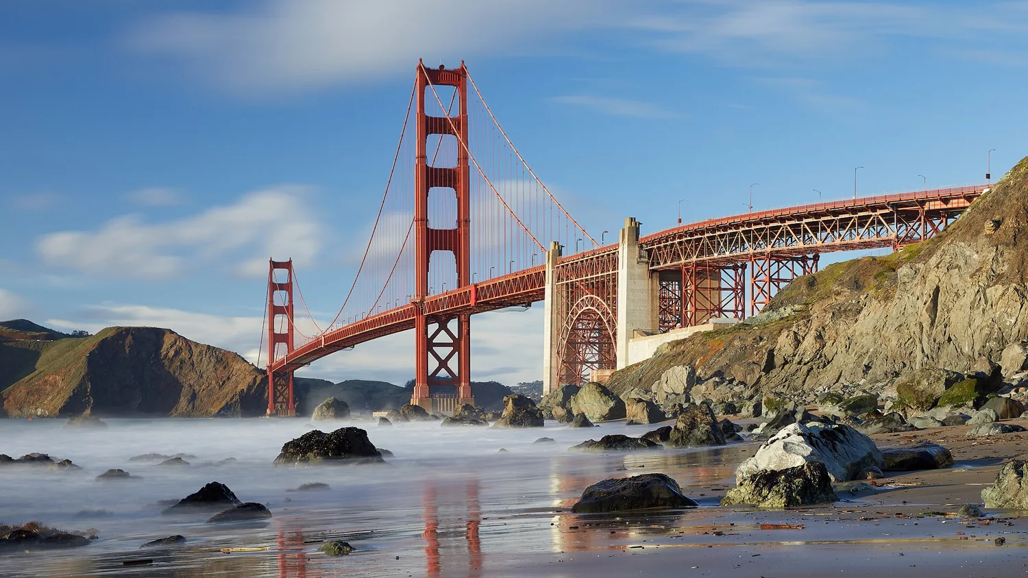 Bay views · neighborhoods · food
San Francisco
Find your way in →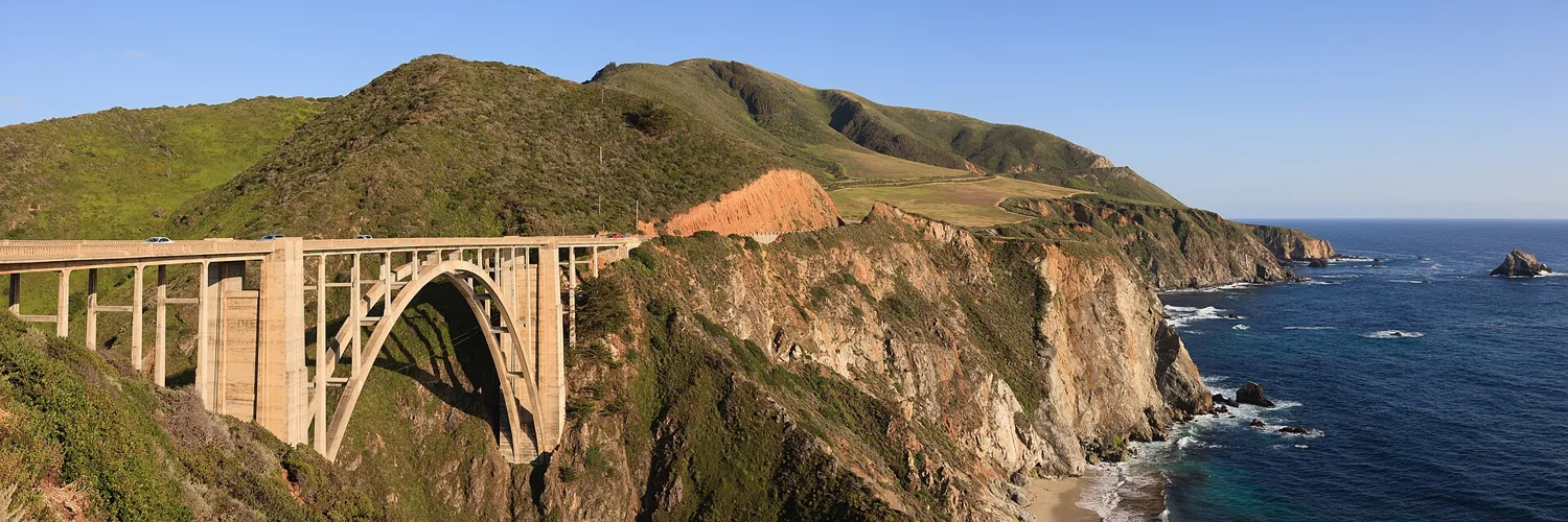 Pacific cliffs · coast roads
Big Sur
Find your way in →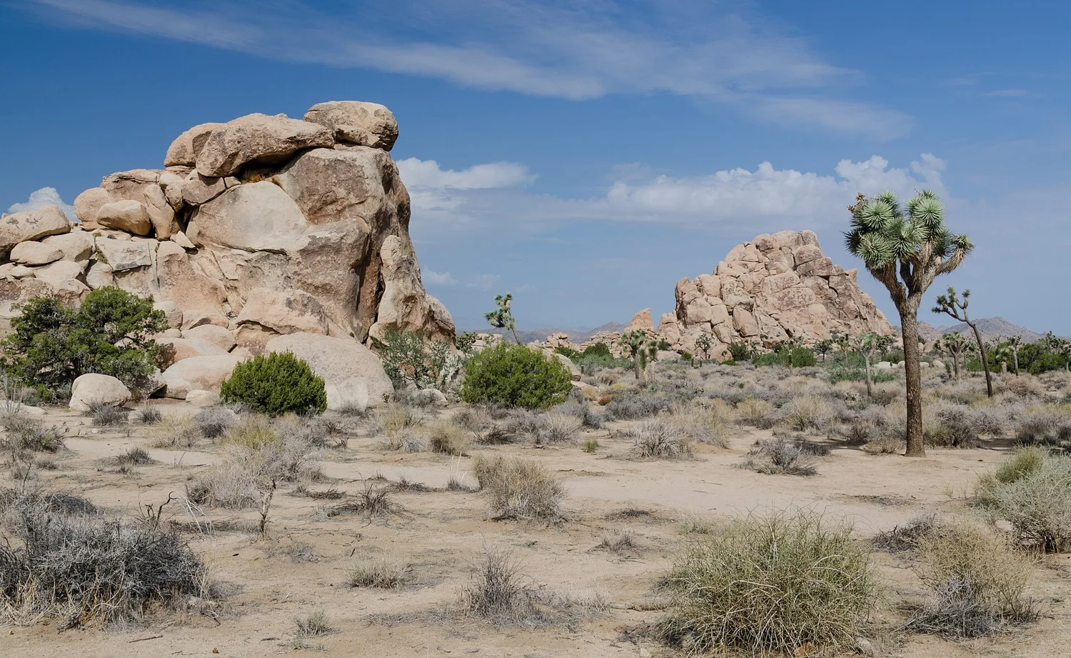 Desert rock · distinctive trees
Joshua Tree
Find your way in → Coastal city · museums · local tables
San Diego
Find your way in →Choose a stop that feels like you.
Follow your curiosity
Where will California take you?
Tap a destination photo. Take a closer look, open its guide or find local businesses.
WTDO travel atlas · tap a photo to explore
Yosemite
Choose a valley viewpoint and a walk that fits your day. Check current entrance requirements, shuttle information and road conditions.
Partial source inventories · 13550 park/recreation parcels · 2324 NPS trail segments · 991 named camping locations (28 KOA). State parks ↗ · KOA directory ↗. These are parcels and segments, not unique park or trail totals. Check current access with the source.
Find your season in California →
Monthly station averages from the existing NOAA 1991–2020 normals. These are station records, not a statewide forecast.
| Month | Mean °F | Rain in. | Snow in. |
|---|
Spring · look for waterfalls in Yosemite and cooler desert days.
Summer · seek redwood shade or high elevation lakes; plan ahead for busy parks.
Fall · enjoy quieter coast drives and crisp Sierra days.
Winter · choose desert trails or a snow-aware Sierra itinerary.
Unavailable station values are shown as —, never zero.
Worth the stop
Meet a local. Make a day of it.
Places that help turn California from somewhere to see into something to do.
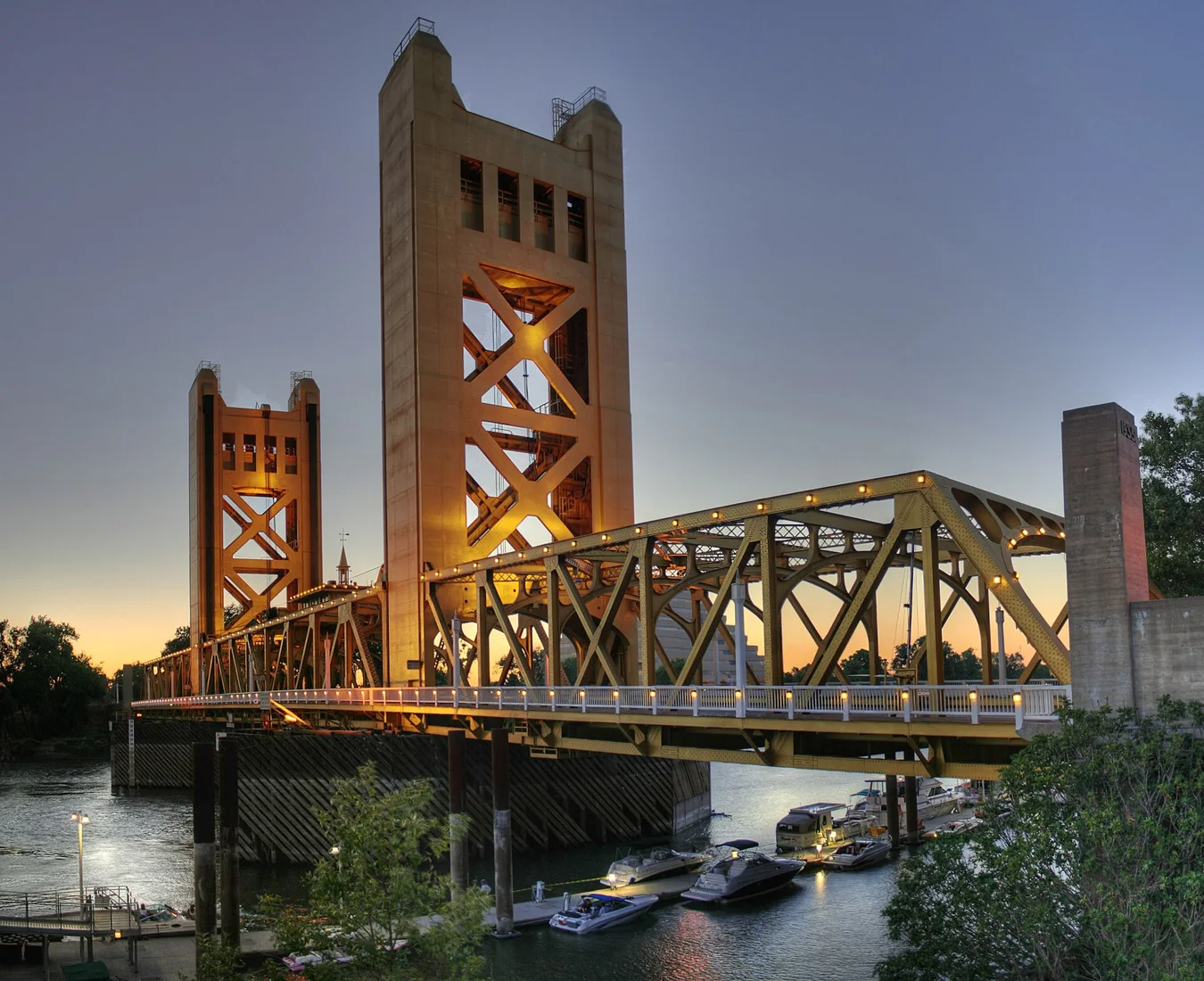 California
A little local know-how
Find your next local stop
Explore businesses in California. Look for verified locations and featured places as the directory grows.
Explore the local business mapYour business could be part of someone’s next good day.Explore $15/month advertising →Add or claim your business →
Keep the idea close
Make California your trip.
Some booking links are affiliate links. WTDO may earn a commission if you book, at no added cost to you.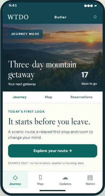 See Butler in action →
Sample trip preview
Less searching. More going.
A little planning.
A lot more California.
Build a free plan from the places you love. Let Butler help look after the trip.
Your next good stop.
Find published places to eat, stay, explore or rent something for the day. Own a business? Add your details and verify your business contact; paid promotion is optional.


