Saved on this device. Confirm route access separately.
The useful details.
Hiking
Three Eagle Trail
Walking area
12.7-mile full route · choose a shorter section
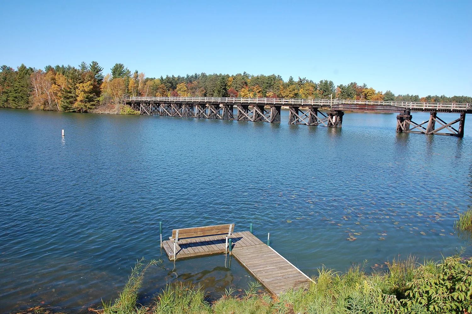
The full trail connects Three Lakes and Eagle River. For a shorter walk, choose one access point and an out-and-back distance from the foundation’s map. The total route length is not a single short loop. The planning pin marks Three Lakes; use the mapped parking access for your chosen section.
East of Eagle River, the Anvil network offers several linked routes. Pick the loops and return path on the Forest Service map rather than assuming the entire system is one hike. The mapped starting area is near Highway 70. Confirm the current trailhead, road access and seasonal trail use before driving there.
Raven offers several loop choices near Woodruff. The county visitor guide describes hills and a separate paved connection. Use the current DNR map to select a route and confirm pass requirements for your activity. A paved parking area does not mean every woodland route is accessible.
Plan an Eagle River outing with the Sno-Eagles network, or choose another club area from the county map. County and club opening notices determine whether groomed trails are available; snowfall alone does not establish an opening. Check conditions again before unloading. Lake crossings require separate local confirmation—land-trail conditions do not establish lake access.
Vilas County combines designated forest trails and signed road routes around communities including Eagle River, Conover and Land O’ Lakes. In Oneida County, compare the Lynne/Little Rice and Enterprise systems on the current county maps. Enterprise includes a rustic campground near the riding area. Choose a route suited to your vehicle and experience, and verify connecting roads rather than assuming every road or hiking trail permits riding.
Track Side in Eagle River offers snowmobile and UTV rentals. Ask about the pickup location, current route access, included equipment, passenger limits and driver requirements before reserving. Confirm trailer parking and the planned return time with your provider. A reservation does not override a trail closure; contact the outfitter if conditions change.
Use designated parking from the official map. Pass rules can depend on the activity and property, so confirm them before buying or assuming admission is free. Check the selected route’s dog rules; individual nature trails and groomed winter routes may differ.
Parking, staging & seasonal access
Choose a designated trailer parking or staging area marked on the official map for your selected system. Confirm space, access and any overnight-parking rules with the county, club or rental provider before arrival. A hiking parking pin on this page is not a motorized staging location. Oneida County prohibits ATV/UTV use on its maintained snowmobile trails in winter. Check Vilas route-specific winter rules separately and obey current signs and closures.
Choose a manageable day
Download the official map, carry the gear and layers your activity needs, and confirm the planned return. Do not use a town pin or recorded forest segment as turn-by-turn routing. Lake crossings require separate local confirmation.
No. The foundation describes a town-to-town route between Three Lakes and Eagle River. Choose a shorter section or arrange your return.
Can I use the same route for walking and motorized recreation?
Do not assume so. Check the specific land manager’s permitted-use map and seasonal notices.
Are all three trail areas in Eagle River?
No. Three Eagle links Eagle River and Three Lakes, Anvil is east of Eagle River, and Raven is near Woodruff.
Can I ride a UTV on the snowmobile trails in winter?
Not as a general rule. Oneida County prohibits ATV/UTV use on maintained snowmobile trails in winter. Check Vilas County’s specific winter road-route guidance and current signs; permission for one route does not authorize another.
Where should I unload a trailer?
Use a designated staging or trailer parking area on the selected system’s official map. Confirm current access and parking rules before going; the hiking pins are not motorized staging points.
The rest of your day
Return to lakes, meals and town stops.
Keep the trail guide for the practical details. Use Northwoods to shape the whole visit.