
Arizona / Find your place
Colorado River & Route 66
Waterfront days, open-road character and a little roadside history.
Explore this corner →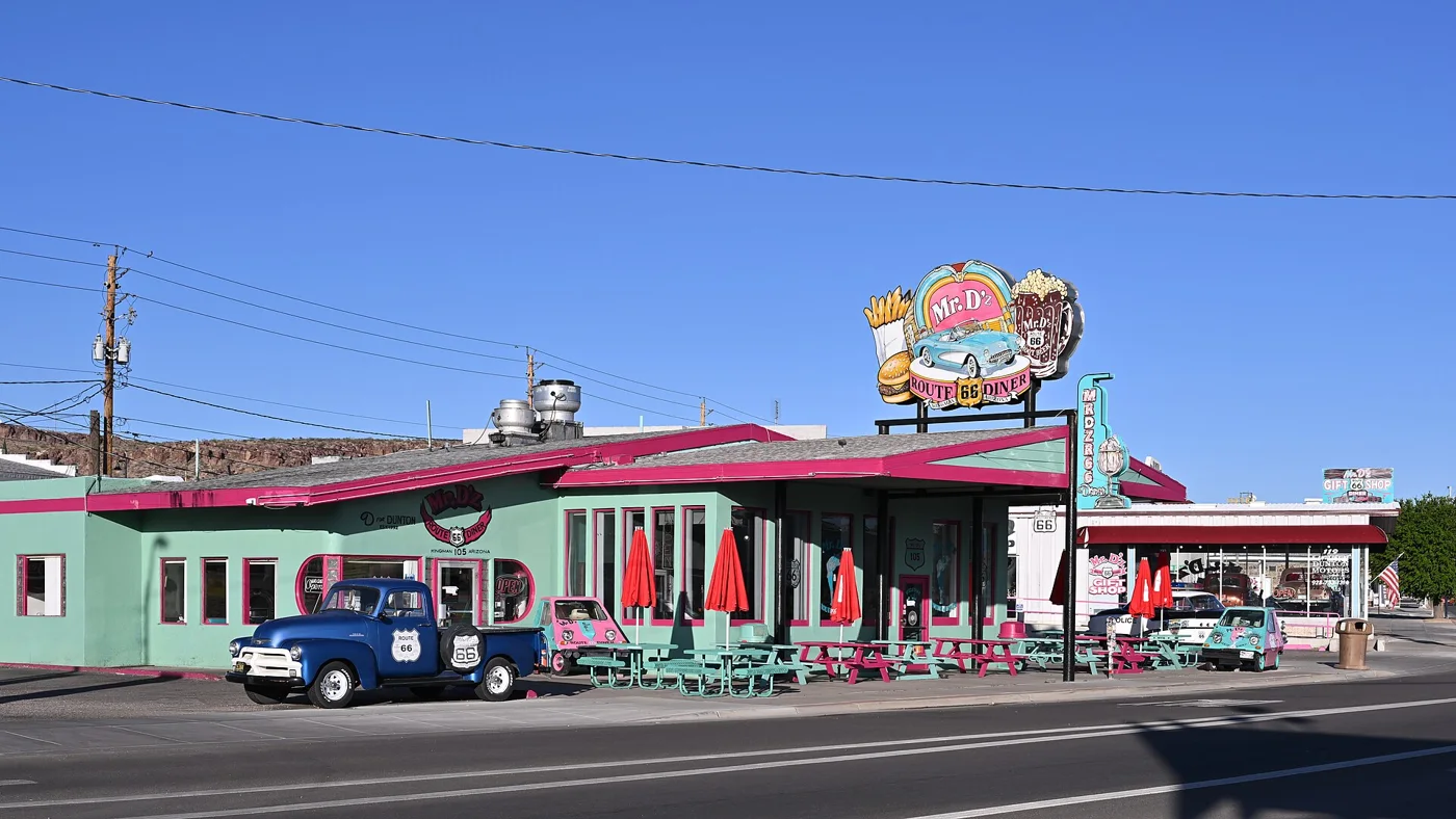
Find your place
Colorado River & Route 66, a little closer.
Waterfront days, open-road character and a little roadside history.
Highlighted counties locate these featured towns. These six WTDO discovery areas are editorial groupings. Markers indicate approximate town centers, not entrances or driving routes. Select a town to open its guide. County outlines: U.S. Census Bureau.
Three places to begin.
Choose a local stop, then find food and a place to stay.
No matching places in this collection. Try another town or show all places.
Your next good stop.
Find a business. Put yours on the map.
Browse published places around Colorado River & Route 66. Business details are supplied by their owners.
Photo credits & visitor sources
Real Arizona photographs, resized and converted to WebP. Displayed crops may vary; each image retains its listed license.
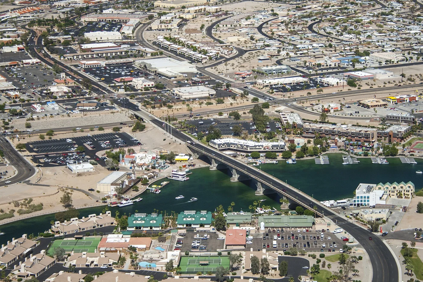
- London Bridge, Lake Havasu City - 2011 (Aerial Photo).jpg — S. Winkvist, CC0. Resized and converted to WebP; website may crop for layout.
- Mr Dz Route 66 Diner Kingman AZ 2026-04-05 17-45-03.jpg — G. Edward Johnson, CC BY 4.0. Resized and converted to WebP; website may crop for layout.
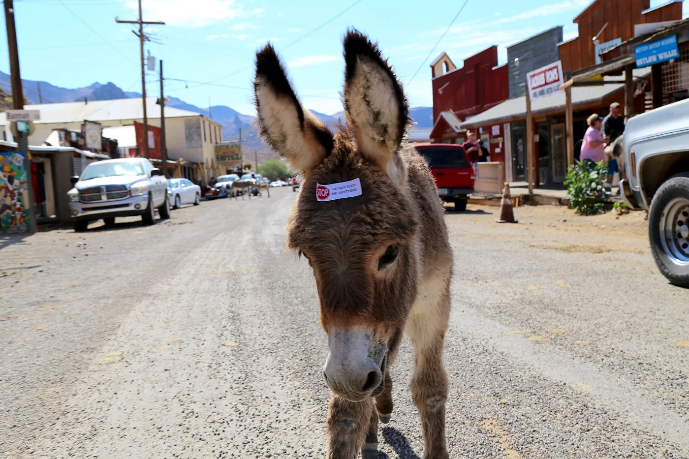
- Oatman-Burros-1 (21338672181).jpg — Joshua Noble, CC BY-SA 2.0. Resized and converted to WebP; website may crop for layout.
Visitor information: Lake Havasu City, Kingman, Oatman. Check current access, hours, weather and booking terms. Photos may show nearby attractions rather than the town center.
County outlines: U.S. Census Bureau 2025 cartographic boundaries. Town markers are approximate centers, not entrances or routes. WTDO regions are editorial discovery areas, not official tourism boundaries.