Black Canyon
A narrow canyon with enormous presence.
Open this guide →
← Colorado guide · National Park
Black Canyon · A day that begins with one good stop.
See your first dayWhy this place matters
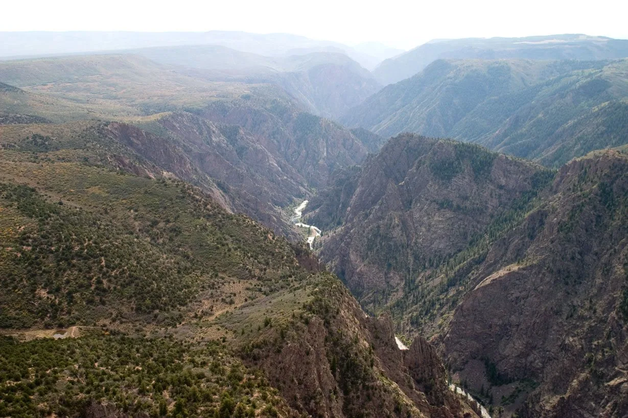
Big enough to be overwhelming, yet still intimate enough to feel the pulse of time. Come see some of the steepest cliffs, oldest rock, and craggiest spires in North America.
Read the full NPS story ↗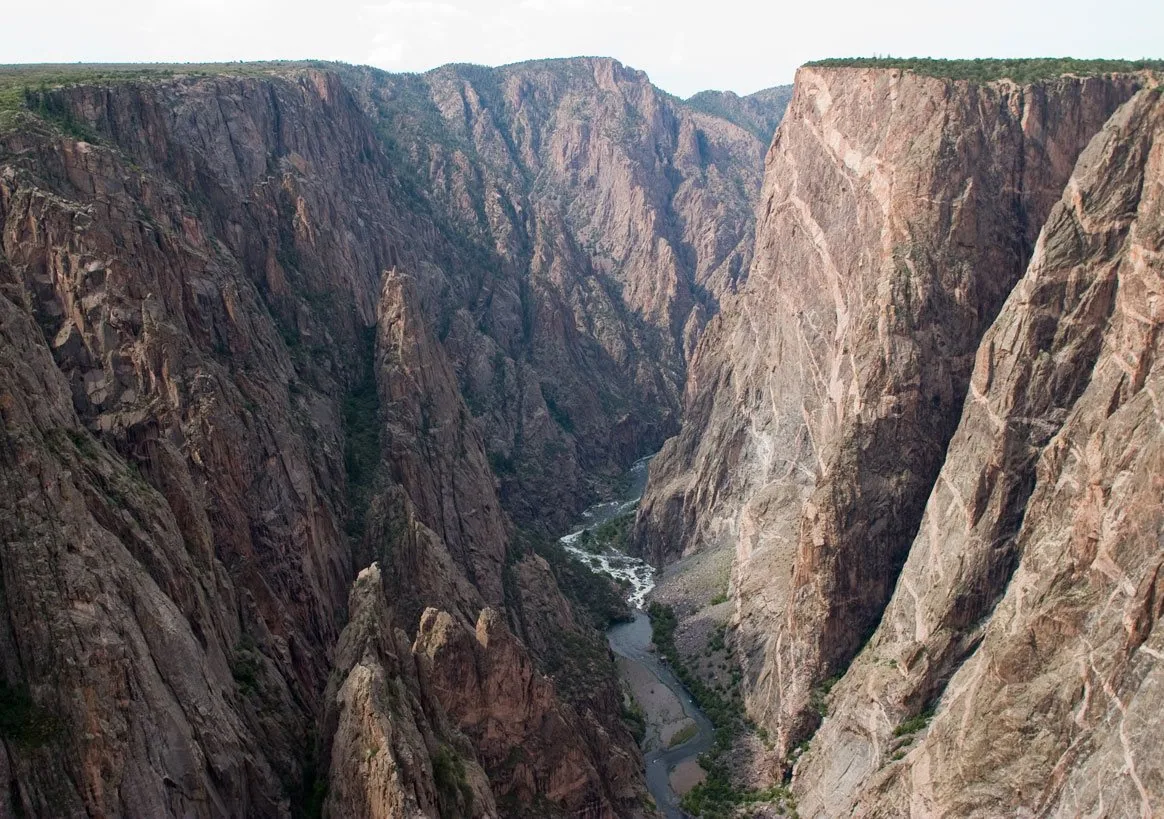
A flexible first day
These are ways to explore, not a timed itinerary. Check conditions before you set out.
Drive an open rim route and stop at a short overlook.
Make time for a ranger program or another rim perspective.
Rim roads and inner-canyon routes require careful planning.
Find your bearings
Switch stops to see where this chapter sits in the wider state.
Outline: U.S. Census Bureau, 2023 cartographic boundary files. Points show guide starting areas and NOAA stations.
NOAA 1991–2020 · monthly normals
These stations show two parts of the state; neither is a forecast or necessarily local to this site.
No monthly snowfall normal is published for this station. Choose the other station to compare snow.
| Month | Jan | Feb | Mar | Apr | May | Jun | Jul | Aug | Sep | Oct | Nov | Dec |
|---|---|---|---|---|---|---|---|---|---|---|---|---|
| Value | 16.9 | 21.1 | 31.2 | 40.5 | 49.6 | 57.6 | 64.5 | 62.8 | 54.6 | 42.7 | 29.7 | 18.3 |
Normal = 1991–2020 average at the named NOAA station. Snowfall is new snow over a month, not snow currently on the ground. A blank NOAA snow series is shown as unavailable, never as zero. See current NOAA snow depth ↗
Weather changes the trip
Rim roads and inner-canyon routes require careful planning. The graph above uses a named NOAA station; conditions at this place may differ with elevation and weather. Check the local NWS forecast ↗
Keep exploring Colorado
Add Denver culture, a mountain-town meal, or a scenic rail day between park visits. See current events ↗
Make the trip yours
Tell WTDO your dates, where you start and how you travel. The first plan is free.
Plan this trip free