
Hawaii / Find your place
Oʻahu
Choose the energy of Honolulu, a windward garden or a North Shore town.
Explore this island →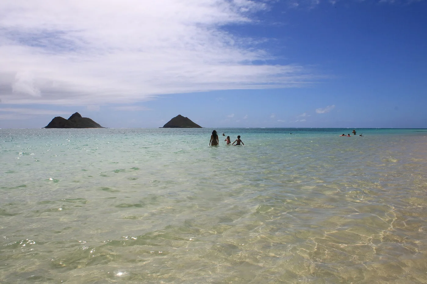
One island at a time. Flights connect the islands; check any ferry service and ground transport separately. Reserve popular parks where required, follow local access guidance and leave room for the place you came to see.
Find your place
Oʻahu, a little closer.
Choose the energy of Honolulu, a windward garden or a North Shore town. Six area guides help you explore Oʻahu at a comfortable pace; traffic and advance reservations shape the day.
An island close-up with separate links to featured areas. Markers are approximate centers, not trailheads or entrances. Islands are not connected by road. Niʻihau and Kahoʻolawe are not presented as open visitor destinations. Shorelines: U.S. Census Bureau county boundaries.
Six ways into Oʻahu.
Choose an area, then find a local stop, food and a place to stay.
Choose an area, then find a local stop, food and a place to stay.
Your next good stop.
Find a business. Put yours on the map.
Browse published places around Oʻahu. Business details are supplied by their owners.
Photo credits & visitor sources
Real Hawaii photographs, resized and converted to WebP. Displayed crops may vary; each image retains its listed license.
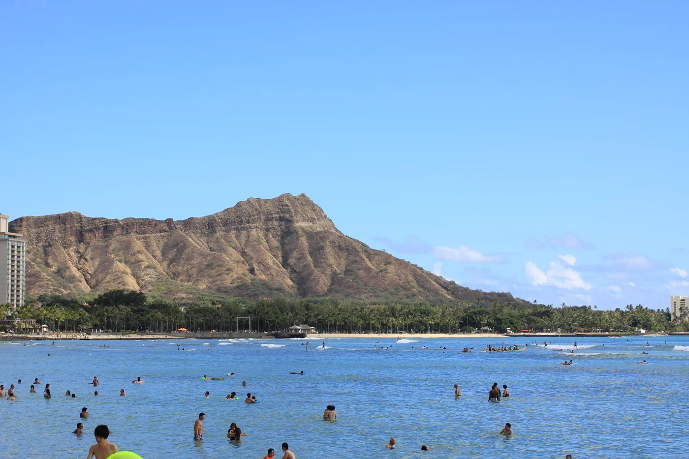
- Diamond Head Photo in Waikiki Beach.JPG — Lahaina, CC BY-SA 4.0. Resized and converted to WebP; website may crop for layout.
- Lanikai Beach 26.jpg — claralieu, CC BY 2.0. Resized and converted to WebP; website may crop for layout.
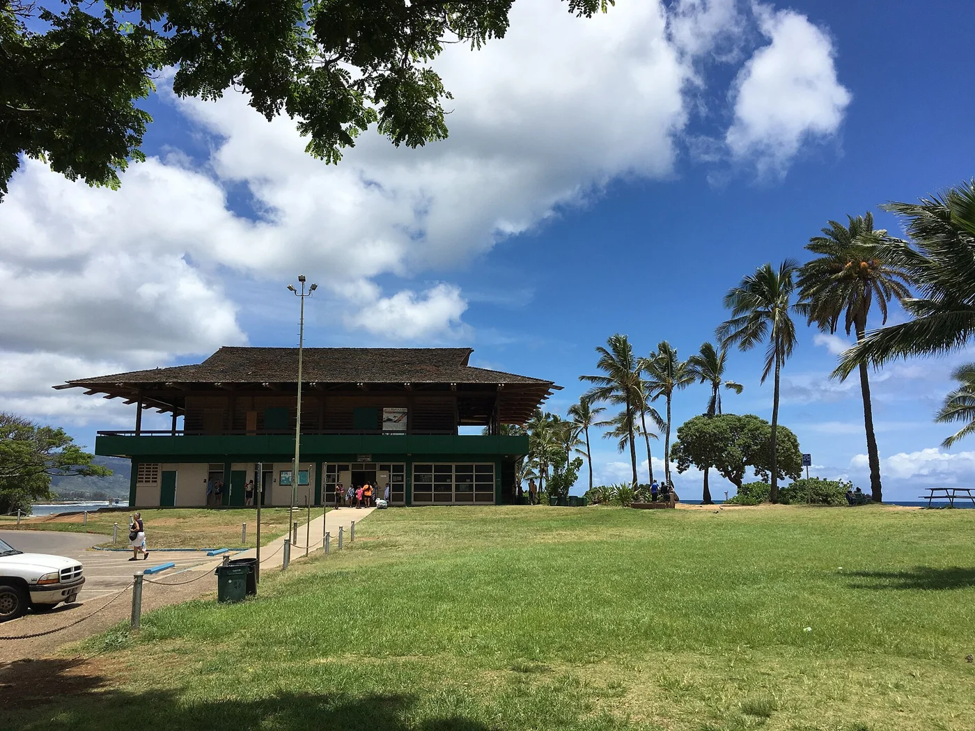
- Haleiwa Beach Park (27817714346).jpg — Thomas Woodtli from Zürich, Switzerland, CC BY-SA 2.0. Resized and converted to WebP; website may crop for layout.
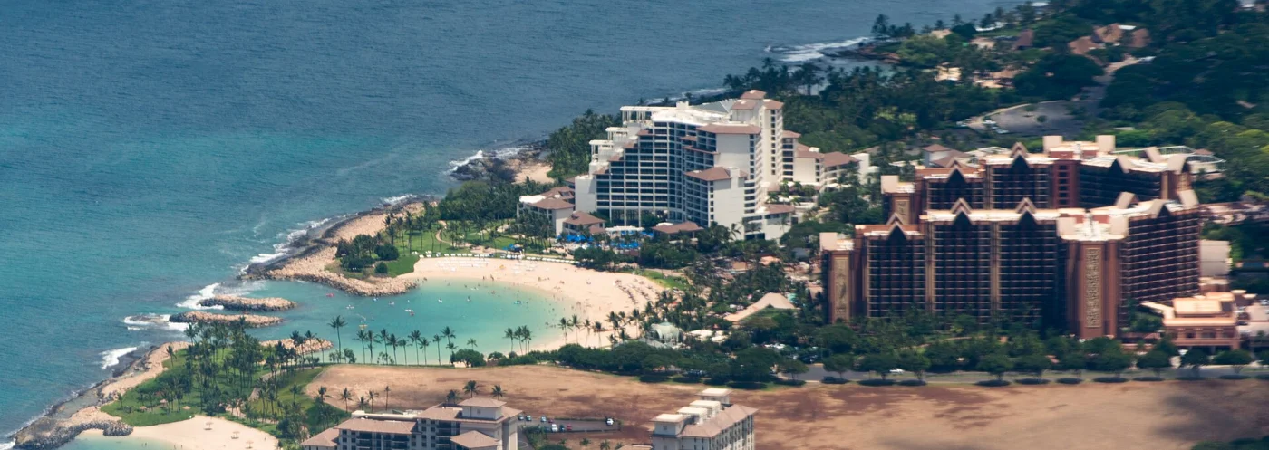
- Aerial view of Disneys Aulani resort and Ko Olina Lagoon.jpg — Derrick Coetzee (User:Dcoetzee), CC0. Resized and converted to WebP; website may crop for layout.
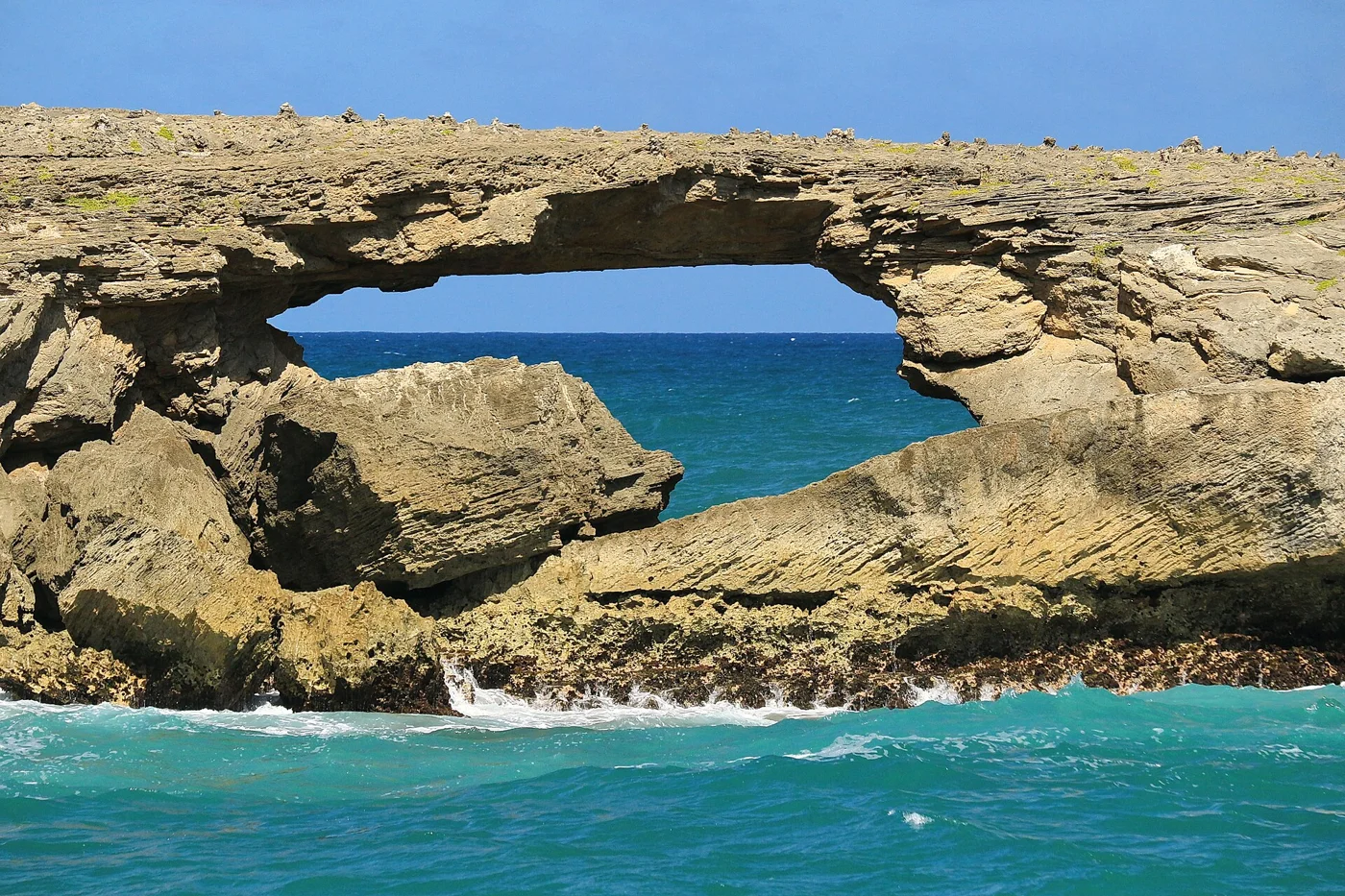
- Laie Point State Wayside, Laie (503520) (19772098208).jpg — Robert Linsdell from St. Andrews, Canada, CC BY 2.0. Resized and converted to WebP; website may crop for layout.
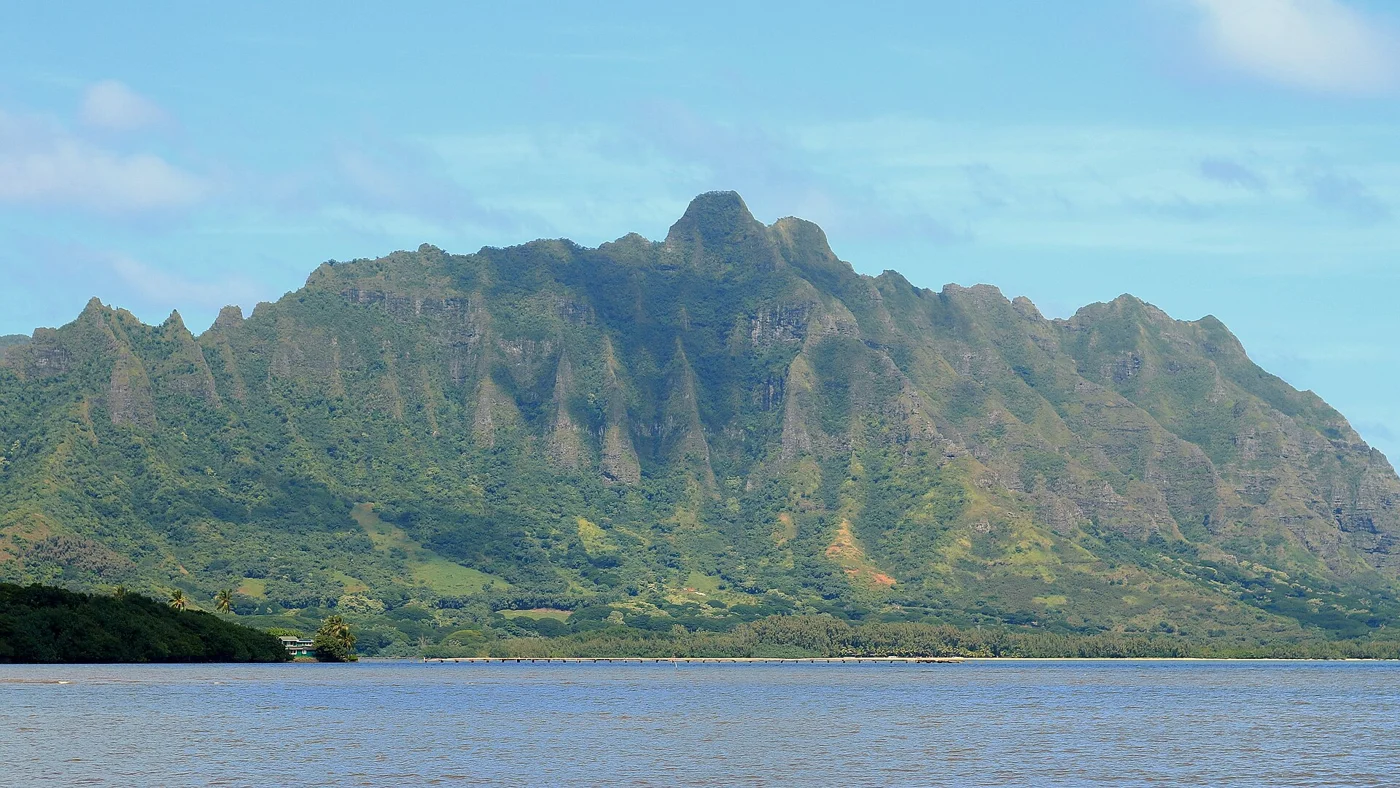
- Kaneohe Bay and Kualoa Ridge, Kaneohe (503475) (19805532492).jpg — Robert Linsdell from St. Andrews, Canada, CC BY 2.0. Resized and converted to WebP; website may crop for layout.
Visitor information: Waikīkī & Honolulu, Kailua, Haleʻiwa & North Shore, Ko Olina & Leeward Coast, Lāʻie & Northeast Coast, Kāneʻohe & Koʻolau Coast. Check current access, hours, weather and booking terms. Photos may show nearby attractions rather than the town center.
Geographic outlines: U.S. Census Bureau 2025 cartographic boundaries. Town markers are approximate centers, not entrances or routes. Island groupings are visitor discovery guides, not administrative county boundaries. Restricted places are not visitor recommendations.
Current park access: Hawaiʻi State Parks notices · Hāʻena reopening and remaining restrictions, October 2026. Check the latest notice before travel.