City of Rocks
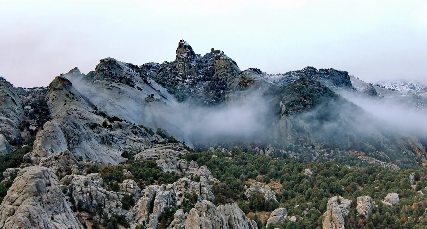
Granite spires with stories in the stone.
Open this guide →
← Idaho guide · National Reserve
City of Rocks · A day that begins with one good stop.
See your first dayWhy this place matters
Described by California Trail emigrants as “a city of tall spires,” “steeple rocks,” and “the silent city,” this awe-inspiring landscape continues to captivate. Today, it beckons rock climbers, hikers, campers, hunters, and adventurers with its dramatic scenery, fascinating geology, and echoes of the Old West.
Read the full NPS story ↗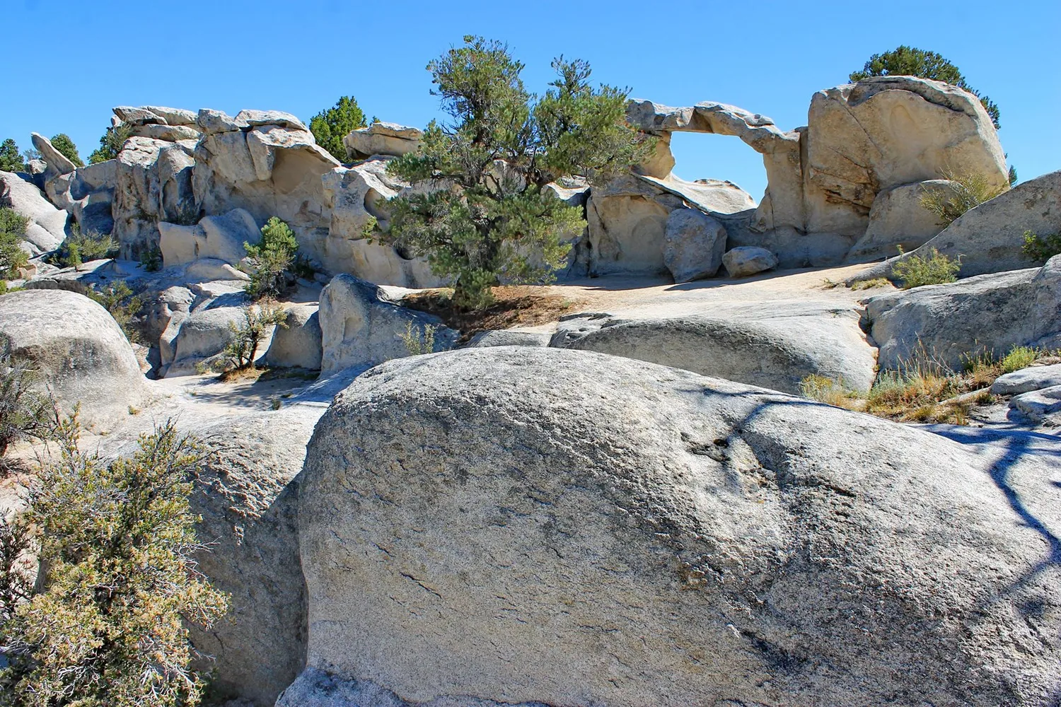
A flexible first day
These are ways to explore, not a timed itinerary. Check conditions before you set out.
Begin at a signed overlook or trail that fits your group.
Look for emigrant history as well as the climbing landscape.
Confirm trail, campground, and climbing guidance.
Find your bearings
Switch stops to see where this chapter sits in the wider state.
Outline: U.S. Census Bureau, 2023 cartographic boundary files. Points show guide starting areas and NOAA stations.
NOAA 1991–2020 · monthly normals
These stations show two parts of the state; neither is a forecast or necessarily local to this site.
No monthly snowfall normal is published for this station. Choose the other station to compare snow.
| Month | Jan | Feb | Mar | Apr | May | Jun | Jul | Aug | Sep | Oct | Nov | Dec |
|---|---|---|---|---|---|---|---|---|---|---|---|---|
| Value | 19.6 | 23.1 | 30.6 | 39.4 | 48.2 | 54.8 | 62.6 | 61.1 | 52.6 | 41.8 | 29.3 | 19.7 |
Normal = 1991–2020 average at the named NOAA station. Snowfall is new snow over a month, not snow currently on the ground. A blank NOAA snow series is shown as unavailable, never as zero. See current NOAA snow depth ↗
Weather changes the trip
Confirm trail, campground, and climbing guidance. The graph above uses a named NOAA station; conditions at this place may differ with elevation and weather. Check the local NWS forecast ↗
Keep exploring Idaho
Use Boise for food and a river walk, or add a mountain town near Ketchum as a separate chapter. See current events ↗
Make the trip yours
Tell WTDO your dates, where you start and how you travel. The first plan is free.
Plan this trip free