Starved Rock State Park
Explore the Illinois River bluffs using current park maps and trail notices. Waterfall flow depends on recent weather.
Visitor details ↗
Illinois River & Starved Rock / Find your place
Canyons · Canal · Small-town stops
Explore this area →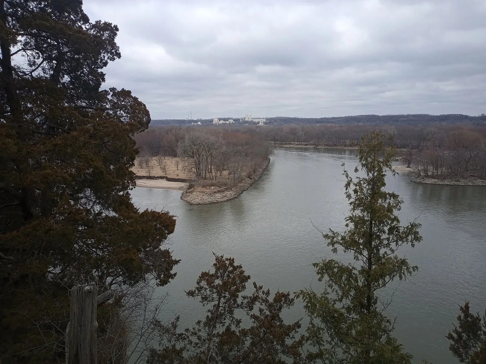
A place worth knowing
Make Utica your small-town base for the Starved Rock area. Spend time among river bluffs and woodland trails, then return to town for a meal.
Choose a stop, then leave room for the unexpected.
Explore the Illinois River bluffs using current park maps and trail notices. Waterfall flow depends on recent weather.
Visitor details ↗Plan a separate outing south of Utica for sandstone formations and wooded trails. Check closures and trail conditions.
Visitor details ↗Browse the village’s shops and local stops before or after your park visit.
Visitor details ↗Explore local restaurants, cafés and places to pause around Utica.
Explore local dining ↗Choose a base for your days around Utica. Compare dates, location and the operator’s booking terms.
Utica places to stay ↗Find a business. Put yours on the map.
Browse published places around Utica. Business details are supplied by their owners.
Real Illinois photographs, resized and converted to WebP. Displayed crops may vary; each image retains its listed license.
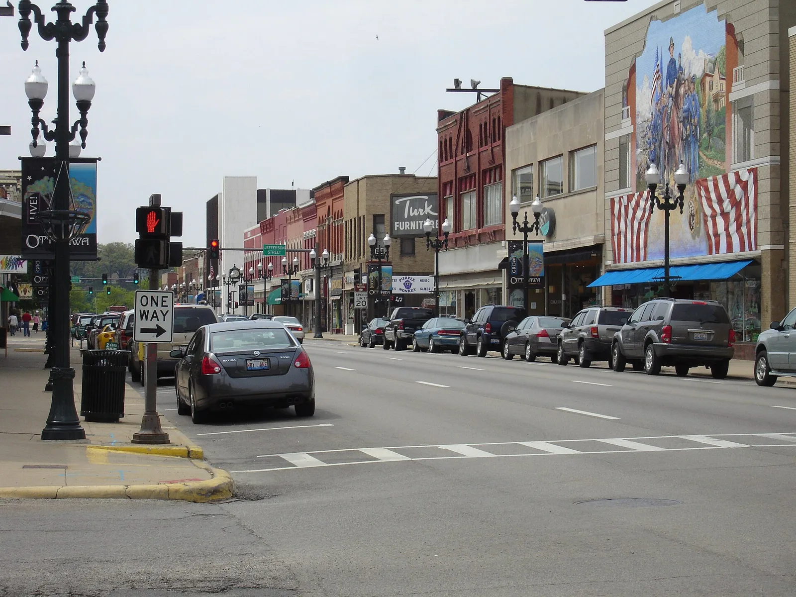
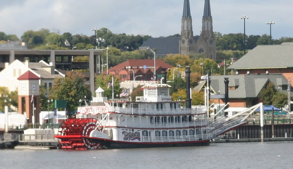
Visitor information: Utica. Check current access, hours and booking terms. Regional scenery may show nearby attractions rather than the town center.
County boundaries: U.S. Census Bureau 2025 cartographic boundary files.