Begin with one place
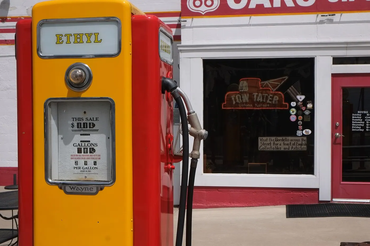
Begin in Galena and follow the short Kansas segment through Baxter Springs.

← Kansas guide / Road trips
Kansas Route 66 · A place with more to it than a quick stop.
Start exploringWhy it is worth the stop
Thirteen miles can fill an afternoon. Stop for preserved bridges and local stories; verify safe public access along each alignment.
Explore the official visitor information ↗A mini storyboard
Choose what sounds like you and check details before you set out.
Begin in Galena and follow the short Kansas segment through Baxter Springs.
Stop for preserved bridges and local stories; verify safe public access along each alignment.
Opening hours, tours, admission and access can change. Use the official link for the current details.
Explore by instinct
Tap a marker, filter the kind of day, or reveal the land beneath the route.
Outline: U.S. Census Bureau. Optional shaded relief: USGS The National Map. Pins mark starting areas, not a driving route.
Road trips
Thirteen miles can fill an afternoon.
Explore this stop →Keep your options open
Build a small-town lunch into a Flint Hills drive, or try a market stop around Hutchinson before your museum day.
See all 6 Kansas stories →Make it your trip