
Skip to discoveries

Cumberland & Appalachia / Find your place

Somerset

Regional stories · Public town life · Battlefield interpretation

Explore this area →
Somerset, Kentucky

A place worth knowing

Make room for Somerset.

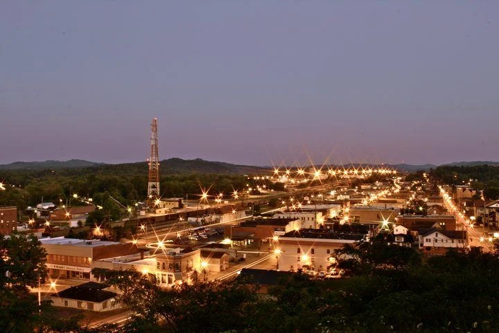
Give Somerset room for a local public-street interval or one carefully planned regional outing. A lake-country base and battlefield interpretation offer different experiences. Check current visitor information and leave time for food and actual drives rather than assuming every attraction sits downtown.

A few good ways to begin.

Choose a stop, then leave room for the unexpected.

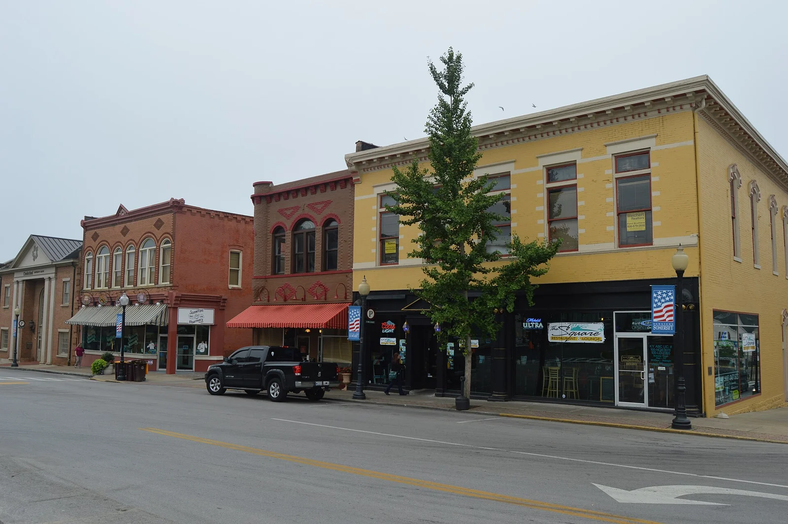
Somerset downtown and public art

Use city tourism guidance to choose designated public streets, current art or an open local venue. Confirm individual business schedules and event use; murals do not establish interior public access.

Plan this visit ↗
Mill Springs Battlefield National Monument

Plan a separate drive toward Nancy using National Park Service guidance. Confirm visitor-center opening, available exhibits and designated battlefield routes; the historic landscape includes separate locations.

Plan this visit ↗

Lake Cumberland regional outing

Use county destination guidance to choose a specific public lake-access area or current visitor offering. Confirm the entrance, weather, water levels and activity rules; a lake listing does not guarantee safe swimming or boat availability.

Plan this visit ↗

Eat & drink

Use the visitor portal to find current food and drink information around Somerset. Regional directories may cover several communities; confirm the address, opening, menus and reservations with the business.

Explore local dining ↗

Stay awhile.

Choose a base for your days around Somerset. Compare dates, location and the operator’s booking terms.

Local places to stay ↗

A little farther along.

Ballard CountyHenry CountyMercer CountyLewis CountyTrigg CountyGrayson CountyChristian CountySimpson CountyCarroll CountyButler CountyMadison CountyBourbon CountyLogan CountyBarren CountyMagoffin CountyMarion CountyBoone CountyWashington CountyHarlan CountyMason CountyJefferson CountyMartin CountyOwsley CountyEdmonson CountyCalloway CountyJackson CountyLawrence CountyMorgan CountyMuhlenberg CountyDaviess CountyPowell CountyJessamine CountyMonroe CountyKnox CountyPerry CountyBracken CountyBreathitt CountyNicholas CountyGrant CountyTaylor CountyClay CountyLeslie CountyLyon CountyCampbell CountyCumberland CountyAllen CountyLee CountyMeade CountyNelson CountyOwen CountyRobertson CountyLaurel CountyClark CountyElliott CountyHart CountyLincoln CountyPulaski CountyOhio CountyWebster CountyBullitt CountyLivingston CountyAnderson CountyOldham CountyShelby CountyCarter CountyCaldwell CountyGreen CountyWolfe CountyScott CountyBreckinridge CountyCrittenden CountyKnott CountyBoyd CountyMcCracken CountyUnion CountyCarlisle CountyFulton CountyHardin CountyAdair CountyGallatin CountyHarrison CountyPike CountyMontgomery CountyLarue CountyMetcalfe CountyHopkins CountyBoyle CountyEstill CountyRussell CountyBell CountyWhitley CountyJohnson CountyFranklin CountyMenifee CountyMarshall CountyRowan CountyRockcastle CountyTrimble CountyWarren CountyHickman CountyTodd CountyClinton CountyWayne CountyFloyd CountyWoodford CountyFayette CountyHancock CountyBath CountyGreenup CountyCasey CountyGraves CountyMcLean CountyLetcher CountyGarrard CountyHenderson CountyKenton CountyFleming CountyMcCreary CountyPendleton CountySpencer County

Loading published Kentucky businesses.

Your next good stop.

Find a business. Put yours on the map.

Browse published places around Somerset. Business details are supplied by their owners.

Free Planner

A good plan starts here.

Plan my trip →

Your WTDO Butler

A little help along the way.

Ask Butler →
Photo credits & visitor sources

Real Kentucky photographs. Photo dates vary; images illustrate places, not current weather or operating conditions.

Independent visitor sources; inclusion is not a paid placement or an endorsement by the source.

County outlines: U.S. Census Bureau TIGERweb, Kentucky FIPS 21, all 120 counties. Simplified for display. Town markers show approximate centers, not attraction entrances or driving routes. These six WTDO areas are editorial discovery groupings, not Kentucky’s official tourism regions. Featured places are starting points, not an exhaustive inventory.

Your saved places