

Missouri / Find your place
Mississippi River Cities
St. Louis, St. Charles and Hannibal share river-country history but are not one compact outing.
Explore this corner →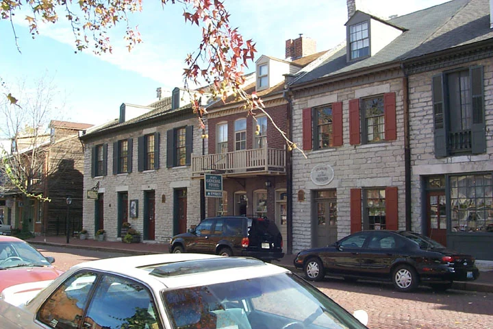
Find your place
Mississippi River Cities, a little closer.
St. Louis, St. Charles and Hannibal share river-country history but are not one compact outing. Choose a city base, check the travel distance and enjoy its museums and historic streets at a comfortable pace.
Highlighted counties locate these featured towns. These six WTDO discovery areas are editorial groupings. Markers indicate approximate town centers, not entrances or driving routes. Select a town to open its guide. County outlines: U.S. Census Bureau.
Three places to begin.
Choose a local stop, then find food and a place to stay.
No matching places in this collection. Try another town or show all places.
Your next good stop.
Find a business. Put yours on the map.
Browse published places around Mississippi River Cities. Business details are supplied by their owners.
Photo credits & visitor sources
Real Missouri photographs. Photo dates vary; images illustrate places, not current weather or operating conditions.
- St. Louis Gateway Arch.jpg — TheWB. Own work CC BY-SA 3.0. Resized and converted to WebP; displayed crops may vary.
- Historic Saint Charles Main Street 3.jpg — See source. Wikimedia Commons CC BY-SA 3.0. Resized and converted to WebP; displayed crops may vary.
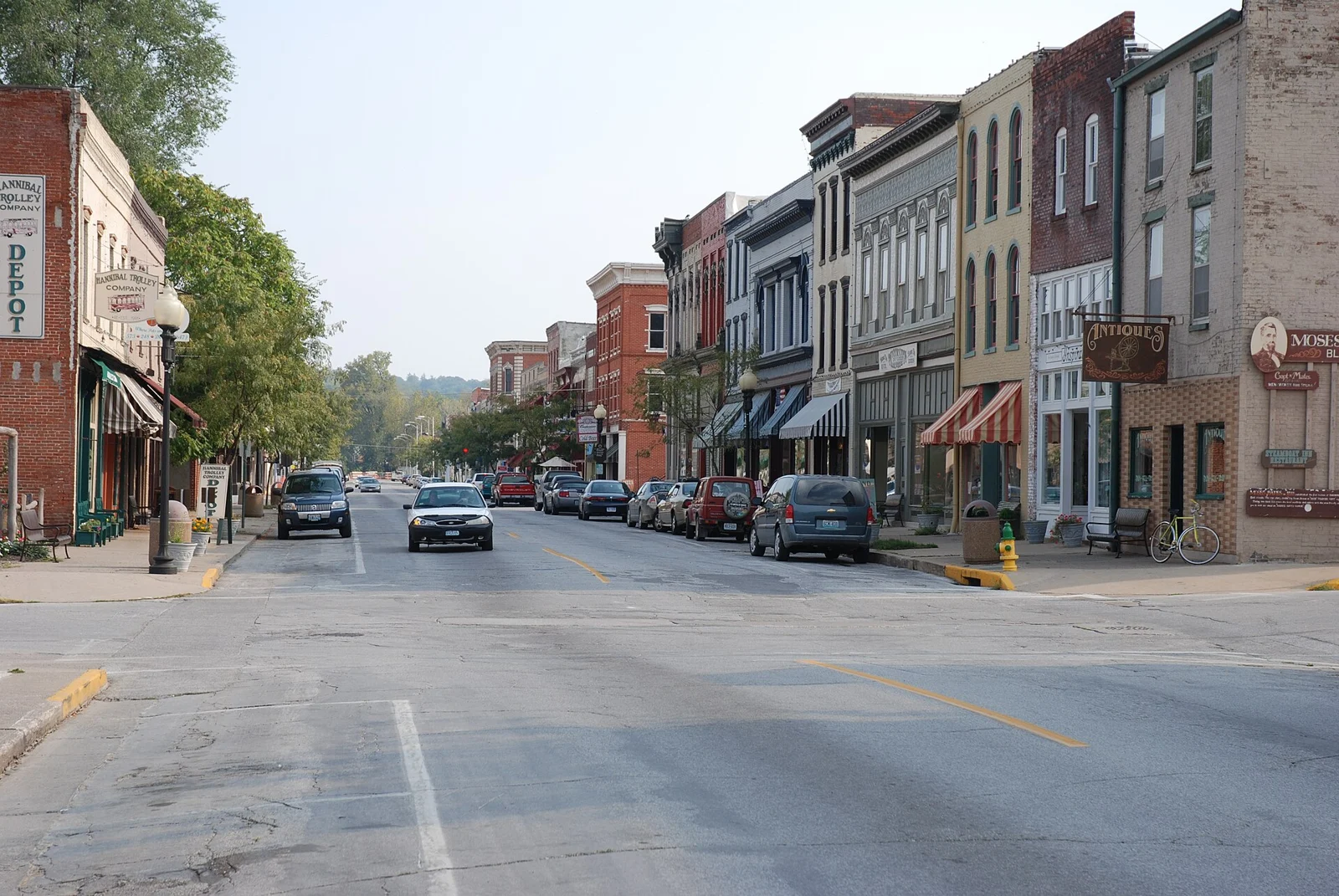
- Main Street Hannibal Missouri southwards.jpg — Bengt Oberger. Own work CC BY-SA 4.0. Resized and converted to WebP; displayed crops may vary.
Independent visitor sources; inclusion is not a paid placement or an endorsement by the source.
County outlines: U.S. Census Bureau TIGERweb, Missouri FIPS29, 114 counties plus independent St. Louis city. Six WTDO areas are editorial discovery groupings.