Lake of the Ozarks State Park
Choose a specific trail, picnic area or public access point. The park has multiple entrances; review current facility and water-condition notices.
Visitor details ↗
Ozarks & Lake Country / Find your place
Lake-country breaks · Woodland trails · Waterside meals
Explore this area →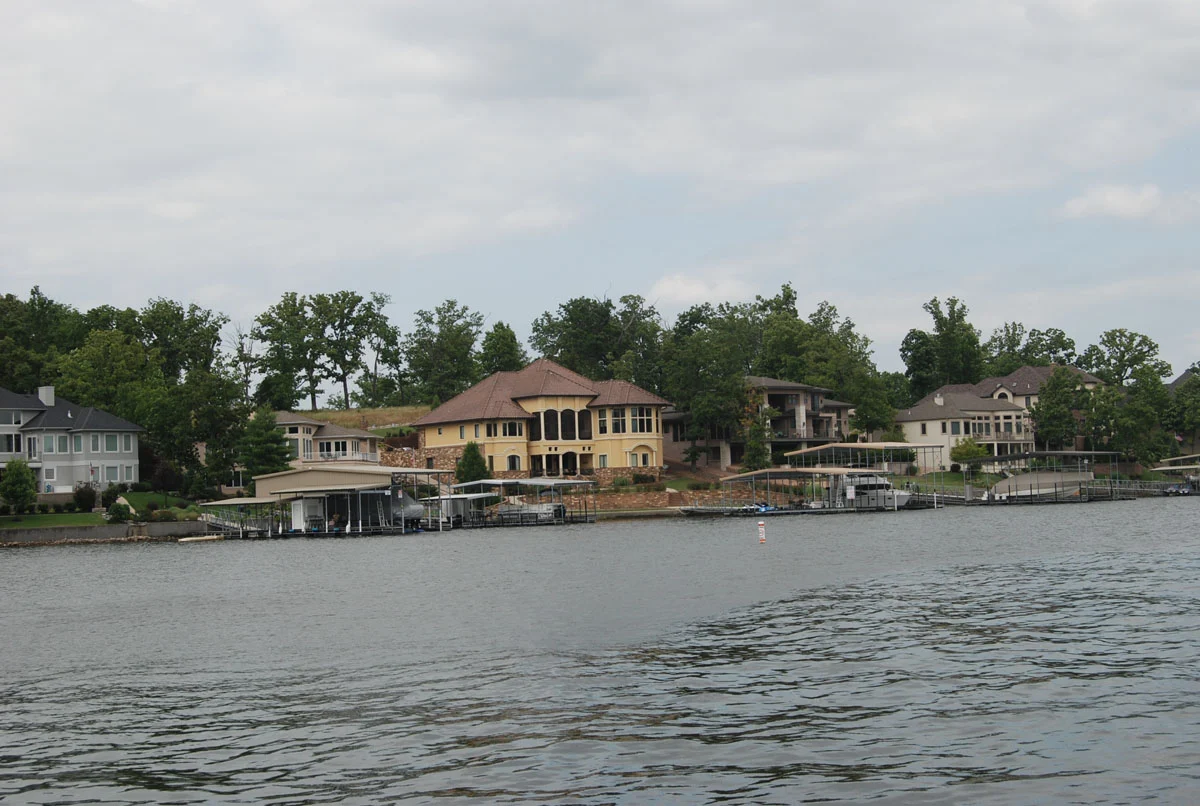
A place worth knowing
Use Osage Beach as a Lake of the Ozarks base, then choose a suitable public park or separate countryside outing. Shoreline destinations can take longer to reach than they appear on a map. Check the actual road route and leave time for an unhurried meal.
Choose a stop, then leave room for the unexpected.
Choose a specific trail, picnic area or public access point. The park has multiple entrances; review current facility and water-condition notices.
Visitor details ↗Plan a separate drive near Camdenton for signed trails and viewpoints. Check route difficulty, stairs, closures and accessibility before selecting a walk.
Visitor details ↗Compare regional attractions and seasonal activities. Check the exact community and any reservations, safety requirements or weather restrictions.
Visitor details ↗Choose a local food stop around Osage Beach using the visitor dining directory. Confirm menus, opening days and reservations with the business.
Explore local dining ↗Choose a base for your days around Osage Beach. Compare dates, location and the operator’s booking terms.
Local places to stay ↗
Find a business. Put yours on the map.
Browse published places around Osage Beach. Business details are supplied by their owners.
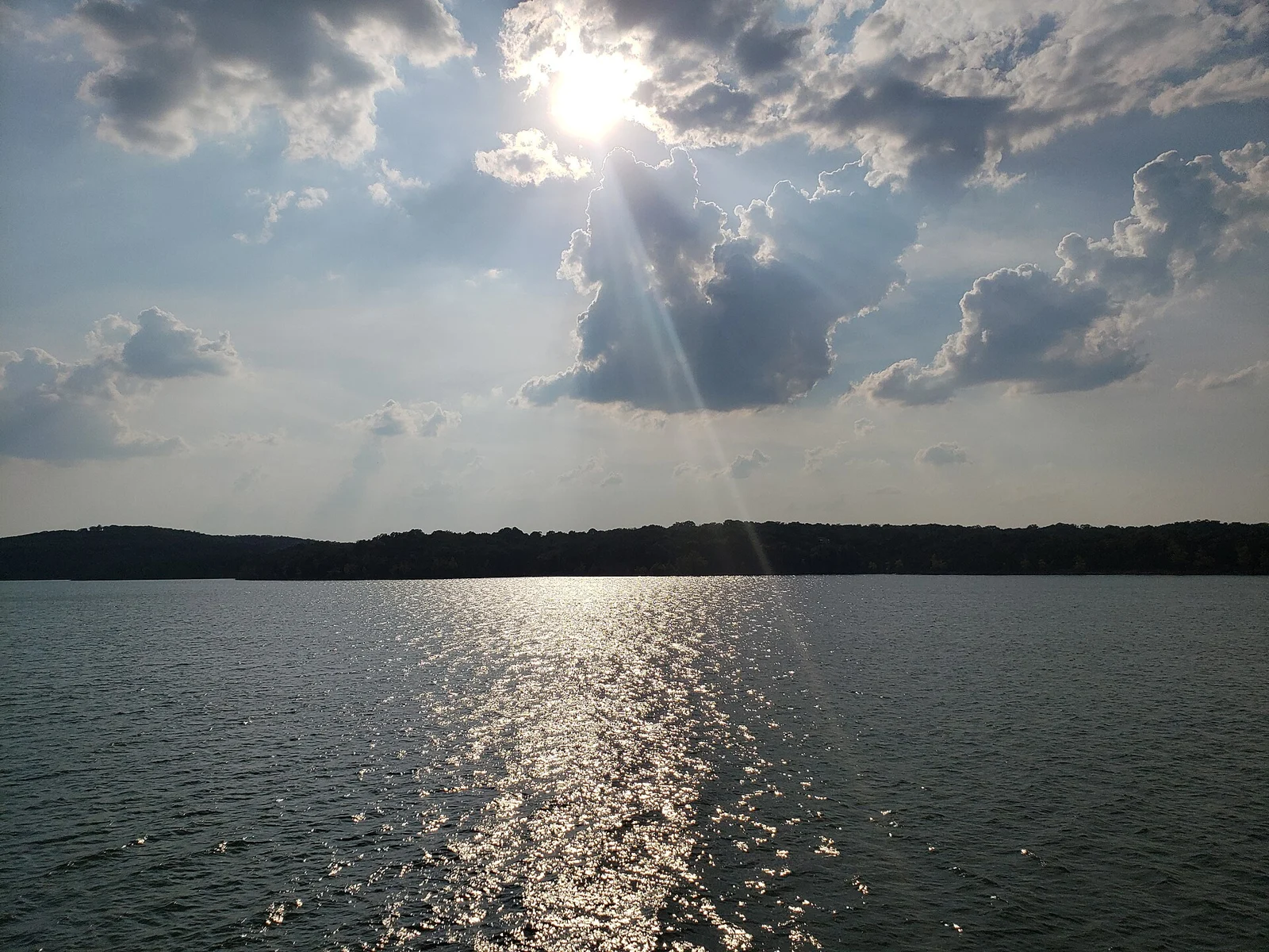
Real Missouri photographs. Photo dates vary; images illustrate places, not current weather or operating conditions.
Independent visitor sources; inclusion is not a paid placement or an endorsement by the source.
County outlines: U.S. Census Bureau TIGERweb, Missouri FIPS29, 114 counties plus independent St. Louis city. Six WTDO areas are editorial discovery groupings.