Caras Park and the riverfront
Walk a suitable riverside section or check the park’s current event calendar; enjoy the river from designated public areas.
Visitor details ↗
Missoula & Bitterroot / Find your place
Riverfront paths · Local history · City tables
Explore this area →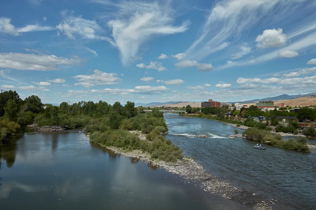
A place worth knowing
Follow the Clark Fork through downtown, then choose a history or natural-science stop. Riverfront paths, local tables and a museum visit make an easy starting point without treating every nearby mountain as the same outing.
Choose a stop, then leave room for the unexpected.
Walk a suitable riverside section or check the park’s current event calendar; enjoy the river from designated public areas.
Visitor details ↗Explore the museum’s exhibits and historic grounds, checking current buildings and opening hours.
Visitor details ↗Look for current exhibits, programs and family-friendly ways to learn about the surrounding natural world.
Visitor details ↗Explore local restaurants, cafés and places to pause around Missoula.
Explore local dining ↗Choose a base for your days around Missoula. Compare dates, location and the operator’s booking terms.
Explore Missoula places to stay ↗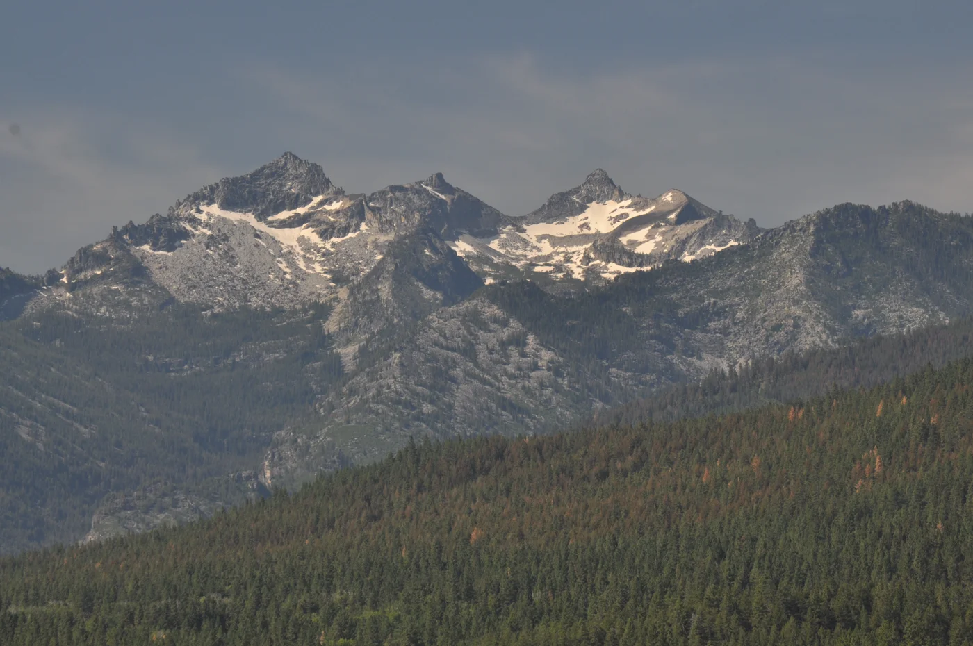
Find a business. Put yours on the map.
Browse published places around Missoula. Business details are supplied by their owners.
Real Montana photographs, resized and converted to WebP. Displayed crops may vary; each image retains its listed license.
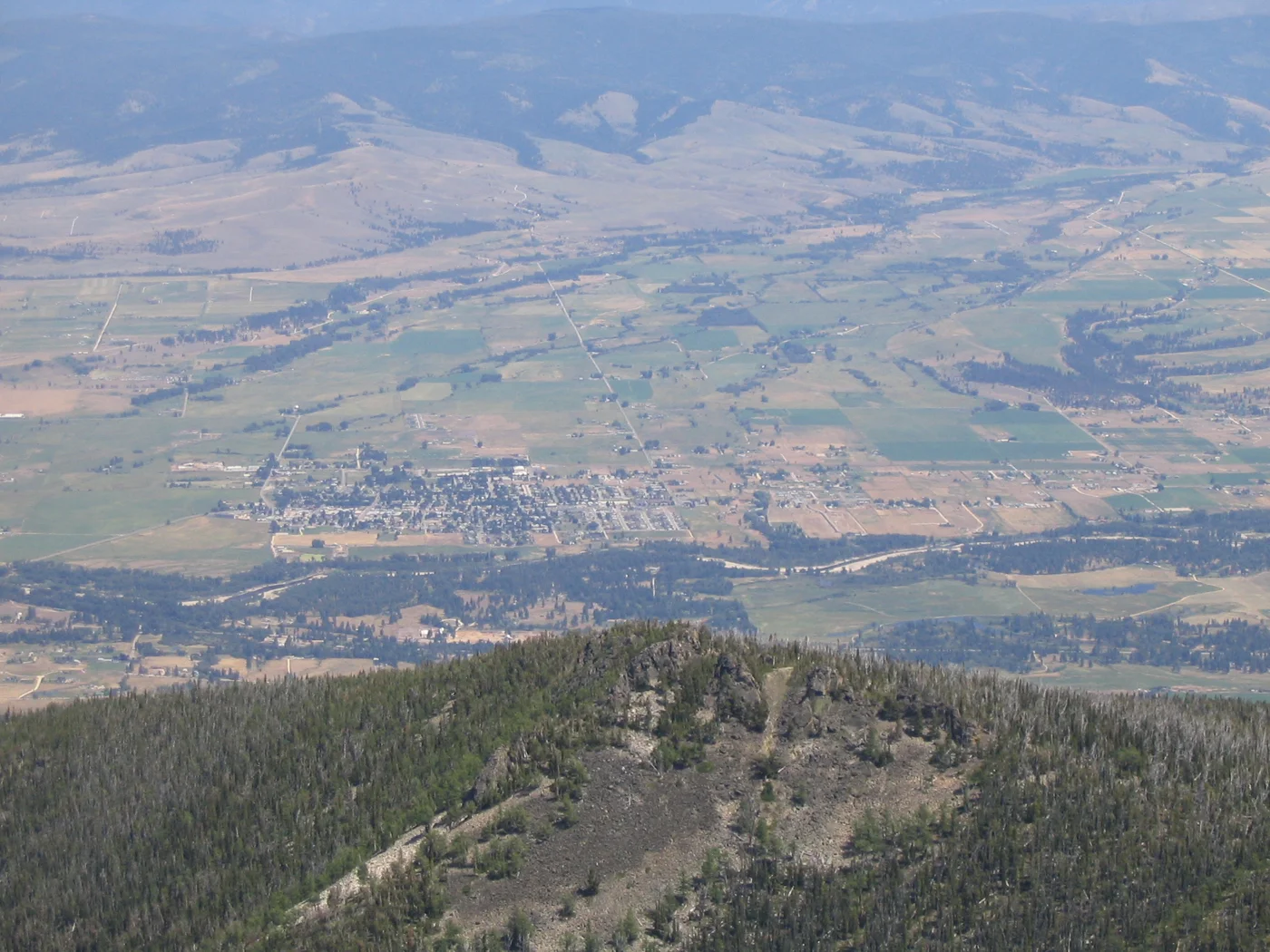
Visitor information: Missoula, Hamilton, Stevensville. Check current access, hours, weather and booking terms. Photos may show nearby attractions rather than the town center.
County outlines: U.S. Census Bureau 2025 cartographic county boundaries. Town markers are approximate centers, not entrances or routes. WTDO regions are editorial discovery areas, not official tourism boundaries.