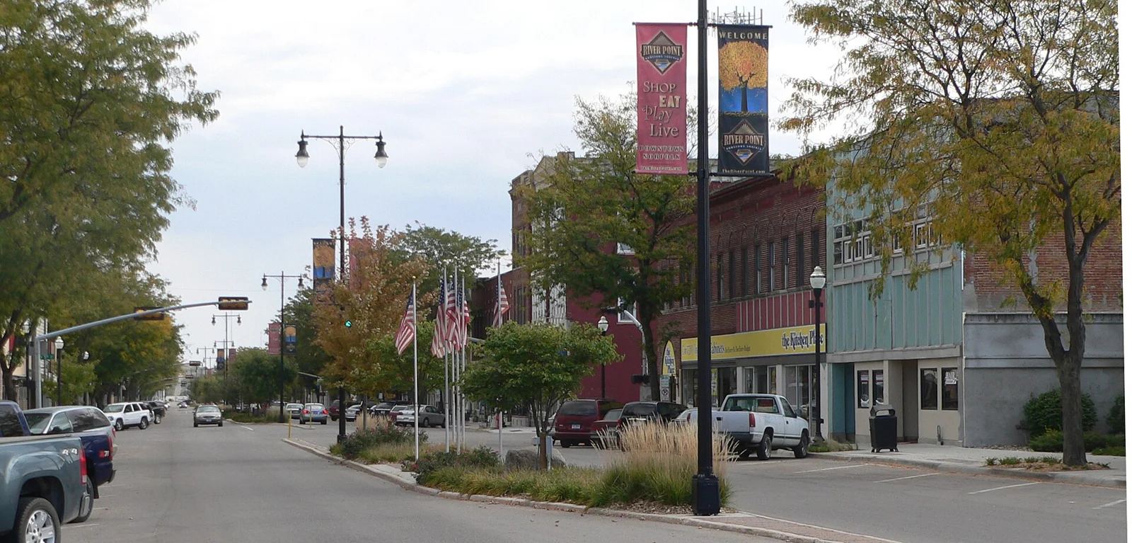
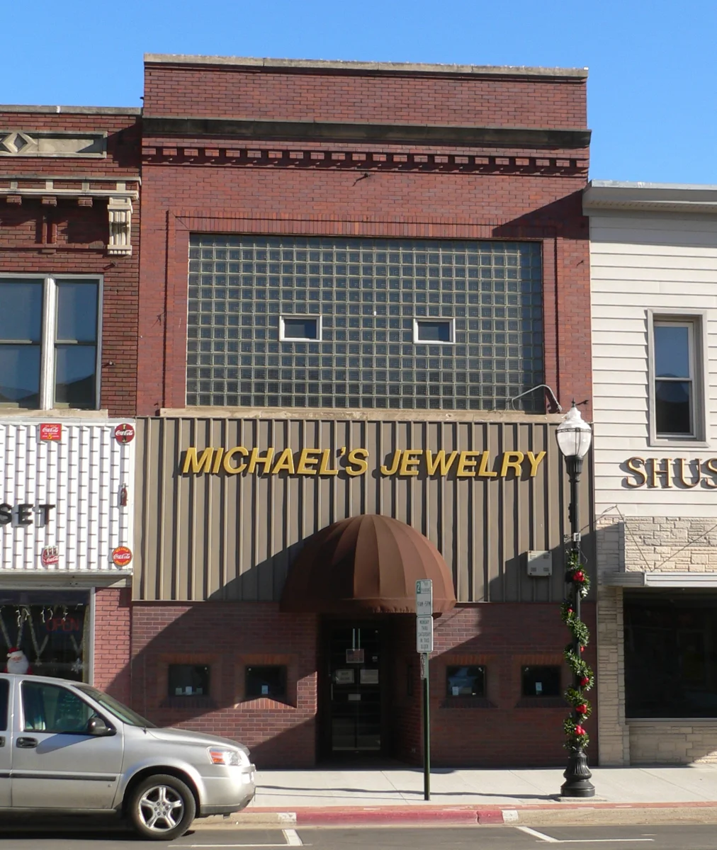
Niobrara State Park
Choose a trail, picnic area or permitted park activity near the river confluence. Check entry requirements, current facility access and weather conditions; a viewpoint is not a promise of safe river access.
Plan this visit ↗
Northeast River Country / Find your place
River confluence · Ponca heritage · Park landscapes
Explore this area →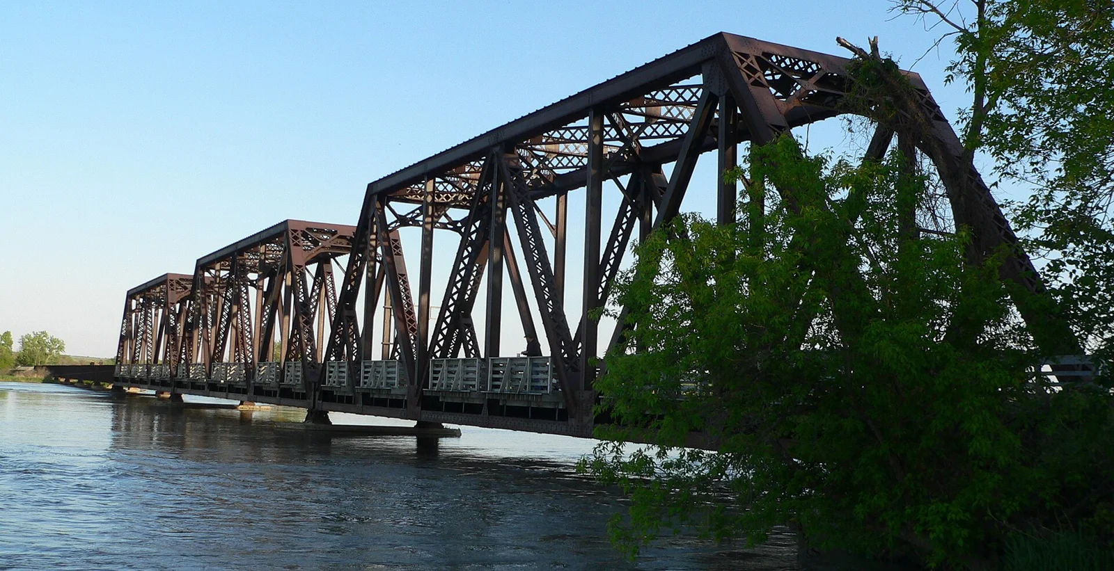
A place worth knowing
Use Niobrara village as a base for the eastern river landscape and for learning from Ponca cultural interpretation. Choose a park visit or a museum first, then leave time to absorb the setting. This area is distinct from the Niobrara National Scenic River trips near Valentine far to the west.
Choose a stop, then leave room for the unexpected.
Choose a trail, picnic area or permitted park activity near the river confluence. Check entry requirements, current facility access and weather conditions; a viewpoint is not a promise of safe river access.
Plan this visit ↗Learn about Ponca history and culture through the tribe’s own museum. Confirm visitor hours and follow current guidance on respectful visits, photography and access to cultural materials.
Plan this visit ↗Use the National Park Service’s visitor guidance to choose an appropriate public access or interpretive outing in the river corridor. Check the exact location and conditions; flowing water and changing banks require care.
Plan this visit ↗Choose a local food stop around Niobrara using the visitor dining directory. Confirm menus, opening days and reservations with the business.
Explore local dining ↗Choose a base for your days around Niobrara. Compare dates, location and the operator’s booking terms.
Local places to stay ↗Find a business. Put yours on the map.
Browse published places around Niobrara. Business details are supplied by their owners.
Real Nebraska photographs. Photo dates vary; images illustrate places, not current weather or operating conditions.
Independent visitor sources; inclusion is not a paid placement or an endorsement by the source.
County outlines: U.S. Census Bureau TIGERweb, Nebraska FIPS 31, all 93 counties. Simplified for display. Town markers show approximate centers, not attraction entrances or driving routes. These six WTDO areas are editorial discovery groupings, not Nebraska’s official tourism regions. Featured places are starting points, not an exhaustive inventory.