Trail of the 49ers Interpretive Center
Check with the town’s visitor resources for current access to local history and overland-trail exhibits.
Visitor details ↗
Northern Nevada / Find your place
Trail history · Alpine drives · High-desert quiet
Explore this area →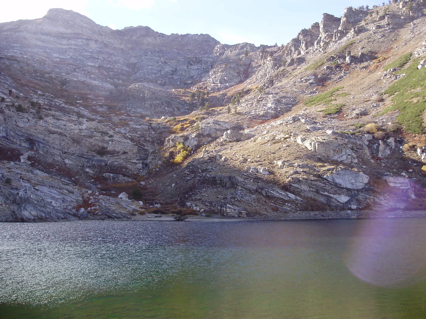
A place worth knowing
Let a small-town history stop anchor a day before choosing a seasonal mountain drive. Wells is an I-80 base, while Angel Lake and the East Humboldt country require a separate outdoor plan.
Choose a stop, then leave room for the unexpected.
Check with the town’s visitor resources for current access to local history and overland-trail exhibits.
Visitor details ↗Plan the mountain drive only when the road and conditions allow; weather can close high-elevation access.
Visitor details ↗Use official visitor guidance to choose a suitable trail and prepare for backcountry conditions rather than assuming a short roadside walk.
Visitor details ↗Explore local restaurants, cafés and places to pause around Wells.
Explore local dining ↗Choose a base for your days around Wells. Compare dates, location and the operator’s booking terms.
Wells places to stay ↗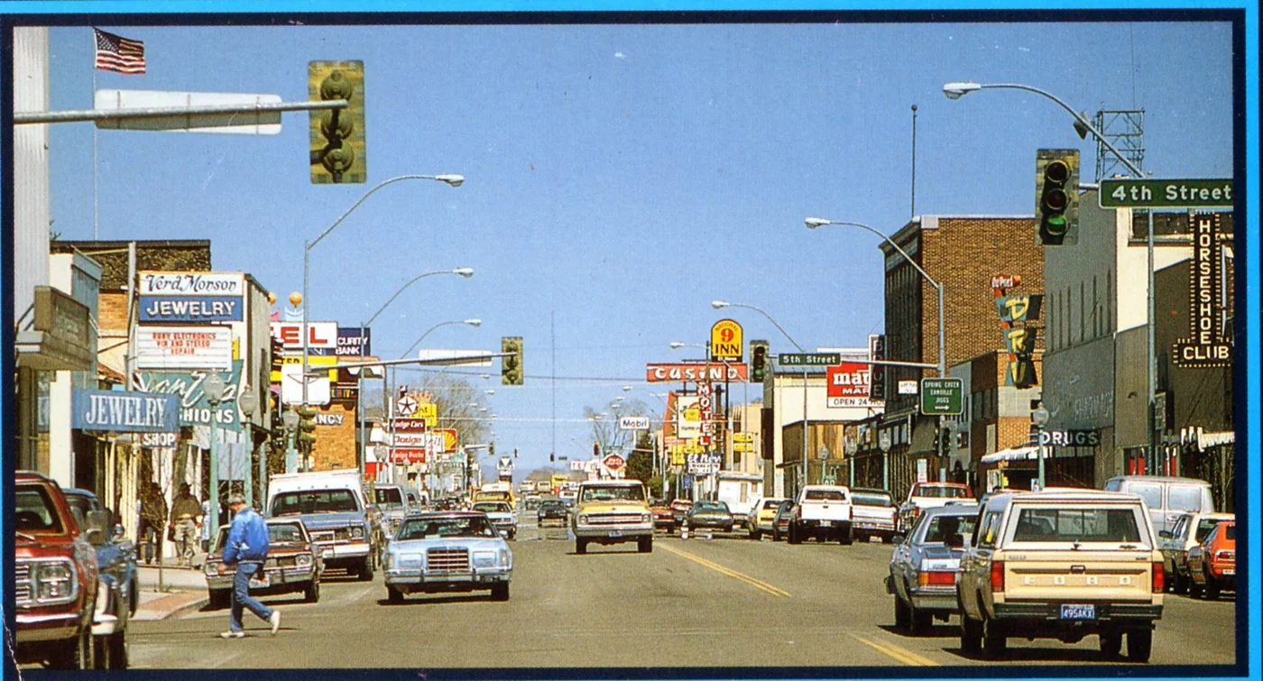
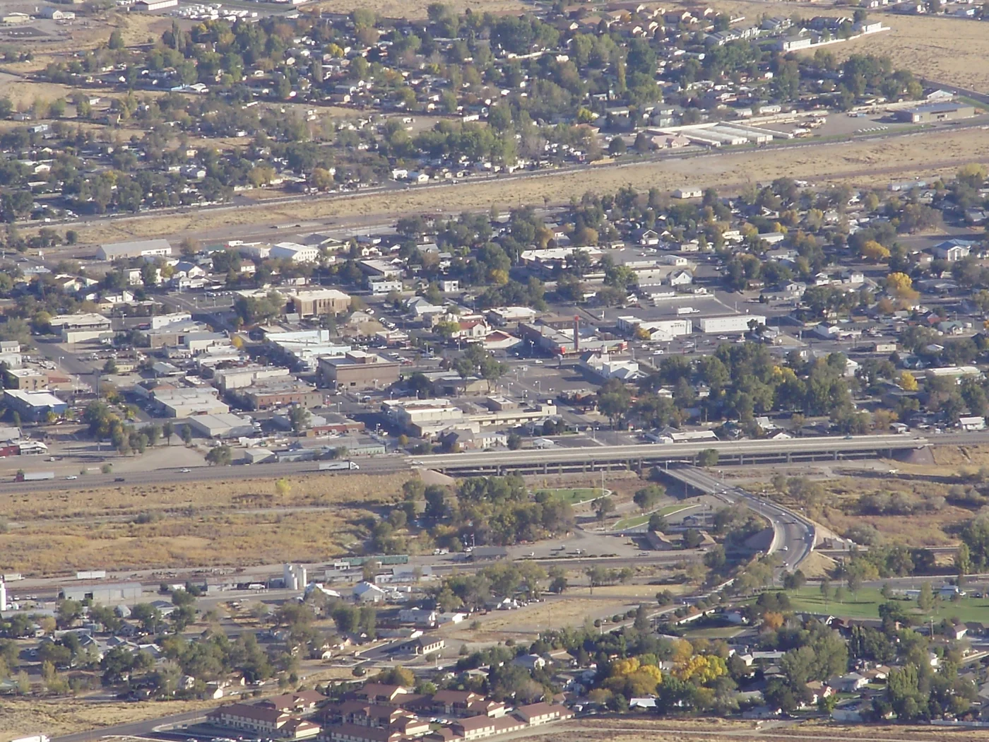
Find a business. Put yours on the map.
Browse published places around Wells. Business details are supplied by their owners.
Real Nevada photographs, resized and converted to WebP. Displayed crops may vary; each image retains its listed license.
Visitor information: Elko, Winnemucca, Wells. Check current access, hours, weather and booking terms. Photos may show nearby attractions rather than the town center.
County outlines: U.S. Census Bureau 2025 cartographic county and independent-city boundaries. Town markers are approximate centers, not entrances or routes. WTDO regions are editorial discovery areas, not official tourism boundaries.