
Nevada / Find your place
Silver Trails
Follow US-95 between desert art, living mining towns and wide-open night skies.
Explore this corner →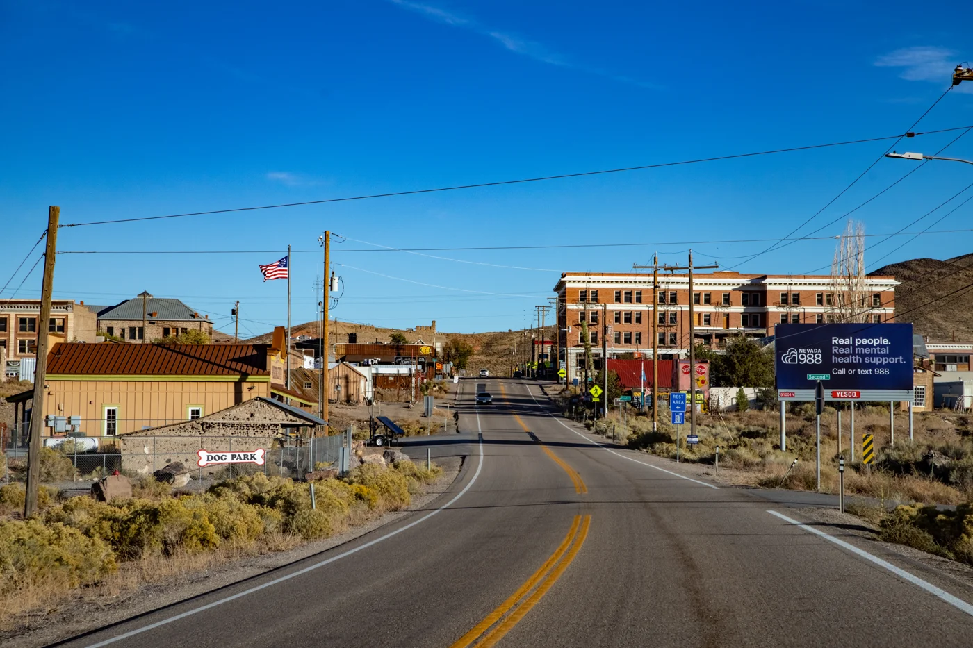
Find your place
Silver Trails, a little closer.
Follow US-95 between desert art, living mining towns and wide-open night skies. Beatty, Tonopah and Goldfield are different overnight bases, with long road distances and limited services between stops.
Highlighted counties and Carson City locate these featured towns. These six WTDO discovery areas are editorial groupings. Markers indicate approximate town centers, not entrances or driving routes. Select a town to open its guide. County outlines: U.S. Census Bureau.
Three places to begin.
Choose a local stop, then find food and a place to stay.
No matching places in this collection. Try another town or show all places.
Your next good stop.
Find a business. Put yours on the map.
Browse published places around Silver Trails. Business details are supplied by their owners.
Photo credits & visitor sources
Real Nevada photographs, resized and converted to WebP. Displayed crops may vary; each image retains its listed license.
- Southbound U.S. Route 95 through Goldfield, Esmeralda County, Nevada.jpg — Amelia Hollis, CC BY 4.0. Resized and converted to WebP; website may crop for layout.
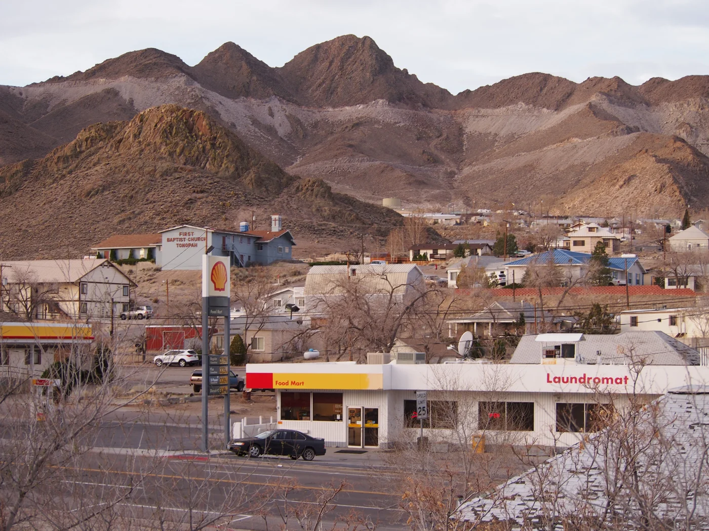
- Tonopah Nevada 2018-04-07 02.jpg — Agnieszka Kwiecień, Nova, CC BY-SA 4.0. Resized and converted to WebP; website may crop for layout.
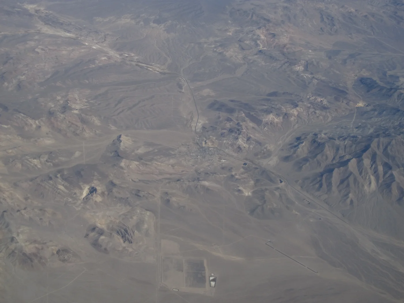
- Beatty, Nevada (10753710524).jpg — Ken Lund from Reno, Nevada, USA, CC BY-SA 2.0. Resized and converted to WebP; website may crop for layout.
Visitor information: Beatty, Tonopah, Goldfield. Check current access, hours, weather and booking terms. Photos may show nearby attractions rather than the town center.
County outlines: U.S. Census Bureau 2025 cartographic county and independent-city boundaries. Town markers are approximate centers, not entrances or routes. WTDO regions are editorial discovery areas, not official tourism boundaries.