
Skip to discoveries

Medora & Southwest / Find your place

Bowman

Prairie fossils · Local history · Reservoir escapes

Explore this area →
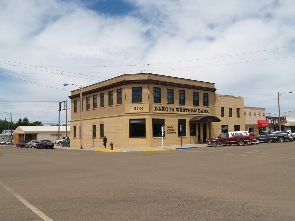
Historic bank building in Bowman, North Dakota

A place worth knowing

Make room for Bowman.

Make Bowman a thoughtful southwest North Dakota pause, with time for a museum before a separate prairie drive. Historic sites and reservoir access are independent destinations. Check conditions and services before leaving town, and give the landscape more time than a hurried highway detour.

A few good ways to begin.

Choose a stop, then leave room for the unexpected.

Pioneer Trails Regional Museum

Explore regional paleontology and human history through the museum’s current exhibits. Confirm visitor hours and any special programs; museum interpretation does not authorize collecting fossils or artifacts in the surrounding countryside.

Plan this visit ↗
Fort Dilts State Historic Site

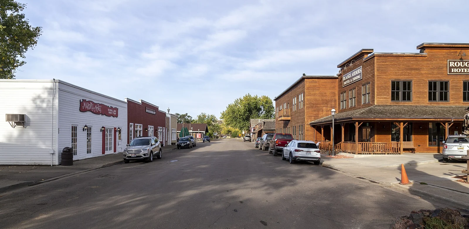
Plan a separate drive near Rhame using the state’s current site directions and access information. Respect the historic landscape, stay on designated public access and check road and weather conditions.

Plan this visit ↗

Bowman-Haley recreation

Use local visitor information to choose a designated reservoir access for a permitted activity. Check the exact destination, road conditions, water levels and seasonal services; the reservoir is not a downtown park stop.

Plan this visit ↗

Eat & drink

Choose a food stop around Bowman using current local visitor information. Confirm menus, opening days and reservations with the business.

Explore local dining ↗

Stay awhile.

Choose a base for your days around Bowman. Compare dates, location and the operator’s booking terms.

Local places to stay ↗

A little farther along.

Your next good stop.

Find a business. Put yours on the map.

Browse published places around Bowman. Business details are supplied by their owners.

Free Planner

A good plan starts here.

Plan my trip →

Your WTDO Butler

A little help along the way.

Ask Butler →
Photo credits & visitor sources

Real North Dakota photographs. Photo dates vary; images illustrate places, not current weather or operating conditions.

Independent visitor sources; inclusion is not a paid placement or an endorsement by the source.

County outlines: U.S. Census Bureau TIGERweb, North Dakota FIPS 38, all 53 counties. Simplified for display. Town markers show approximate centers, not attraction entrances or driving routes. These six WTDO areas are editorial discovery groupings, not North Dakota’s official tourism regions. Featured places are starting points, not an exhaustive inventory.

Your saved places