
Oklahoma / Find your place
Wichita Mountains & Southwest
Pair community stories and cobblestone streets with mountain scenery or Route 66 history.
Explore this corner →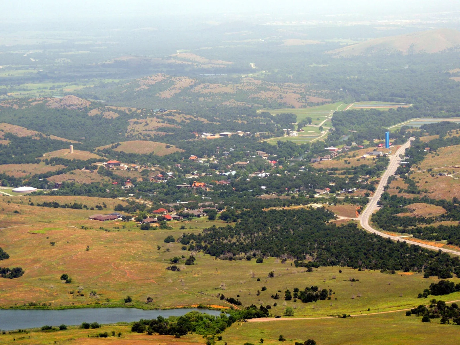
Find your place
Wichita Mountains & Southwest, a little closer.
Pair community stories and cobblestone streets with mountain scenery or Route 66 history. These bases are separate drives, with weather and individual access shaping each outing.
Highlighted counties locate these featured towns. These six WTDO discovery areas are editorial groupings. Markers indicate approximate town centers, not entrances or driving routes. Select a town to open its guide. County outlines: U.S. Census Bureau.
Three places to begin.
Choose a local stop, then find food and a place to stay.
No matching places in this collection. Try another town or show all places.
Your next good stop.
Find a business. Put yours on the map.
Browse published places around Wichita Mountains & Southwest. Business details are supplied by their owners.
Photo credits & visitor sources
Real Oklahoma photographs. Photo dates vary; images illustrate places, not current weather or operating conditions.
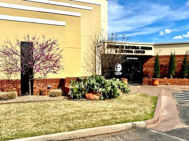
- Lawton Comanche Museum 3-2025 Wikipedia.jpg — TulGuy. CC0. Resized and converted to WebP; displayed crops may vary.
- Medicine Park View.jpg — Jphill19. CC BY-SA 4.0. Resized and converted to WebP; displayed crops may vary.
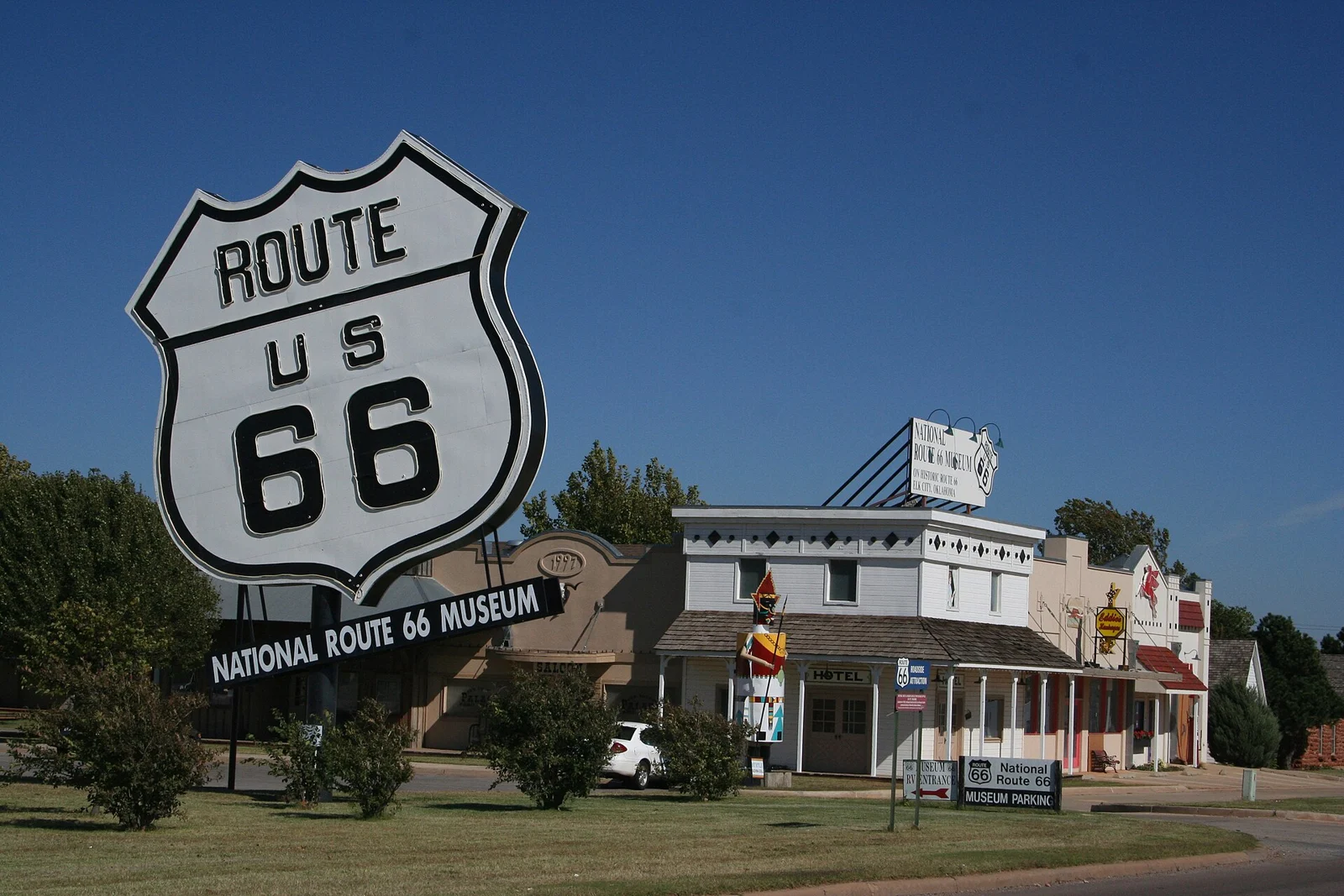
- Historic Route 66 - National Route 66 Museum and Old Town Museum Complex - NARA - 7719453.jpg — Unknown author Unknown author or not provided. Public domain. Resized and converted to WebP; displayed crops may vary.
Independent visitor sources; inclusion is not a paid placement or an endorsement by the source.
County outlines: U.S. Census Bureau TIGERweb, Oklahoma FIPS 40, all 77 counties. Simplified for display. Town markers show approximate centers, not attraction entrances or driving routes. These six WTDO areas are editorial discovery groupings, not Oklahoma’s official tourism regions. Featured places are starting points, not an exhaustive inventory.