
Oregon / Find your place
Southern Oregon
Choose an arts town, a river base or Klamath Basin history.
Explore this corner →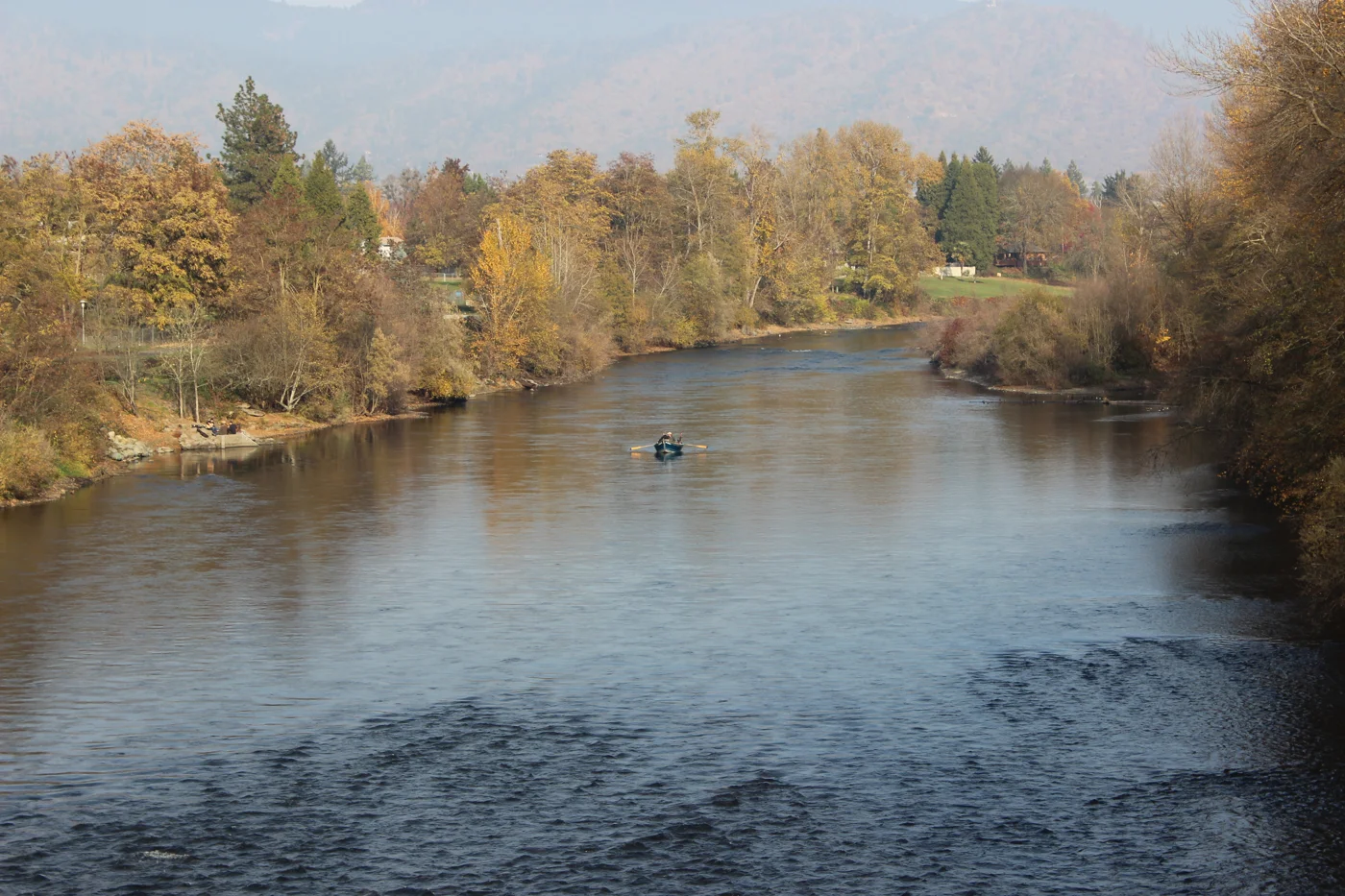
Find your place
Southern Oregon, a little closer.
Choose an arts town, a river base or Klamath Basin history. These are distinct stays; long drives, mountain conditions and seasonal operations matter more than a straight line on the map.
Highlighted counties locate these featured towns. These six WTDO discovery areas are editorial groupings. Markers indicate approximate town centers, not entrances or driving routes. Select a town to open its guide. County outlines: U.S. Census Bureau.
Three places to begin.
Choose a local stop, then find food and a place to stay.
No matching places in this collection. Try another town or show all places.
Your next good stop.
Find a business. Put yours on the map.
Browse published places around Southern Oregon. Business details are supplied by their owners.
Photo credits & visitor sources
Real Oregon photographs, resized and converted to WebP. Displayed crops may vary; each image retains its listed license.
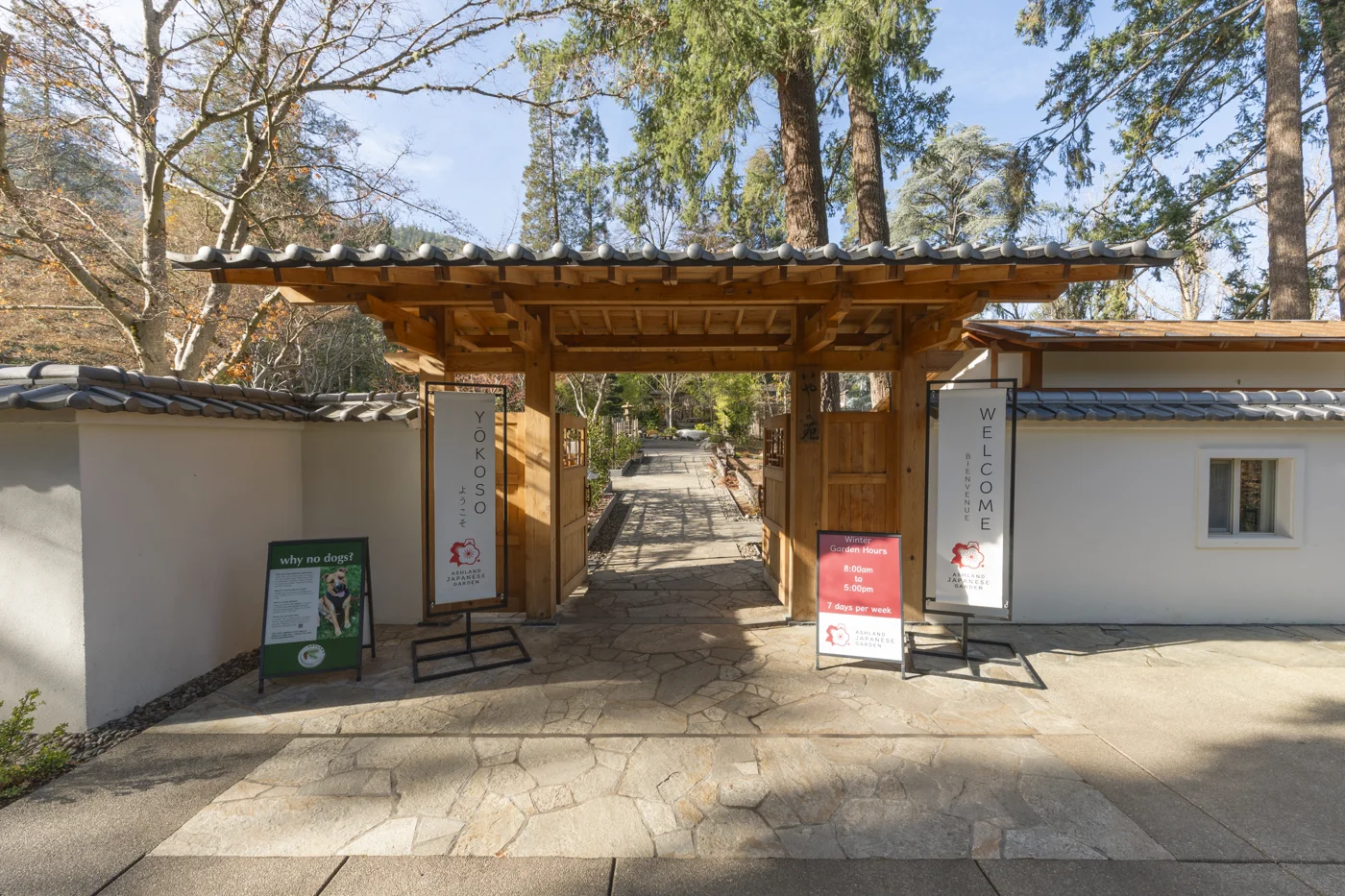
- Ashland Japanese Garden, Lithia Park.jpg — E bailey, CC BY-SA 4.0. Resized and converted to WebP; website may crop for layout.
- Grants Pass ,Or.pedestrian bridge fishing the Rogue 01.jpg — Rob7 24, CC BY-SA 4.0. Resized and converted to WebP; website may crop for layout.
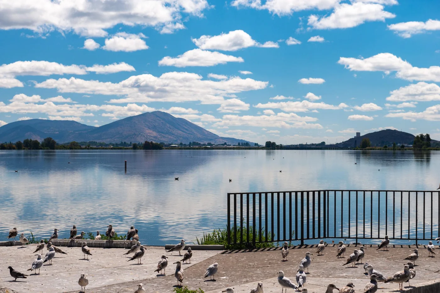
- Lake Ewauna, Veterans Memorial Park, Klamath Falls - DPLA - a15be2daf6c9c03dcac8d98ce6840412.jpg — Gary Halvorson, Oregon State Archives, CC BY 4.0. Resized and converted to WebP; website may crop for layout.
Visitor information: Ashland, Grants Pass, Klamath Falls. Check current access, hours, weather and booking terms. Photos may show nearby attractions rather than the town center.
County outlines: U.S. Census Bureau 2025 cartographic boundaries. Town markers are approximate centers, not entrances or routes. WTDO regions are editorial discovery areas, not official tourism boundaries.