
Skip to discoveries

Mountain Highlands / Find your place

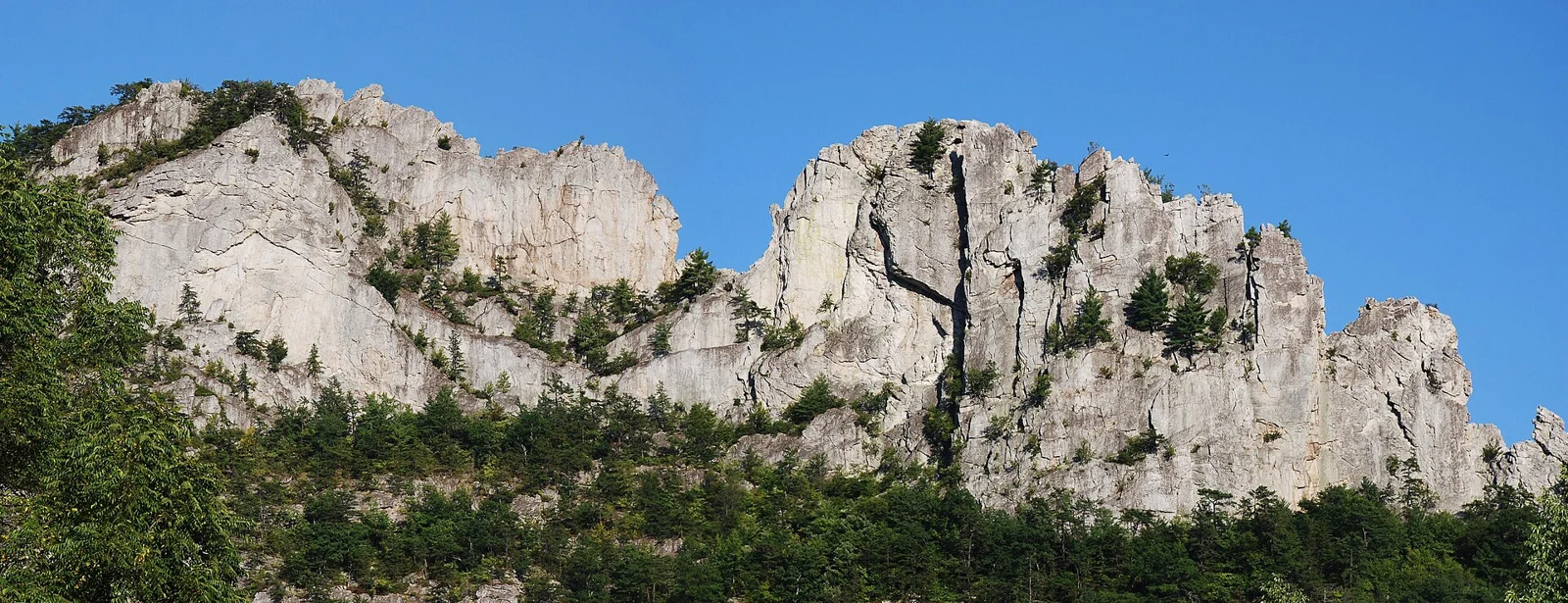
Seneca Rocks

Rock landscape · Forest interpretation · Mountain summit drive

Explore this area →
Seneca Rocks landscape in West Virginia

A place worth knowing

Make room for Seneca Rocks.

Choose a Seneca Rocks day with a suitable designated viewpoint and time to understand the forest landscape. A visitor-center stop is different from a demanding trail or a separate summit drive. Confirm seasonal facilities and road conditions before adding food and distant stops.

A few good ways to begin.

Choose a stop, then leave room for the unexpected.

Seneca Rocks Discovery Center

Use the county destination listing and current forest guidance to confirm seasonal visitor-center opening and interpretation. Do not assume the building stays open through winter even when the landscape remains visible.

Plan this visit ↗
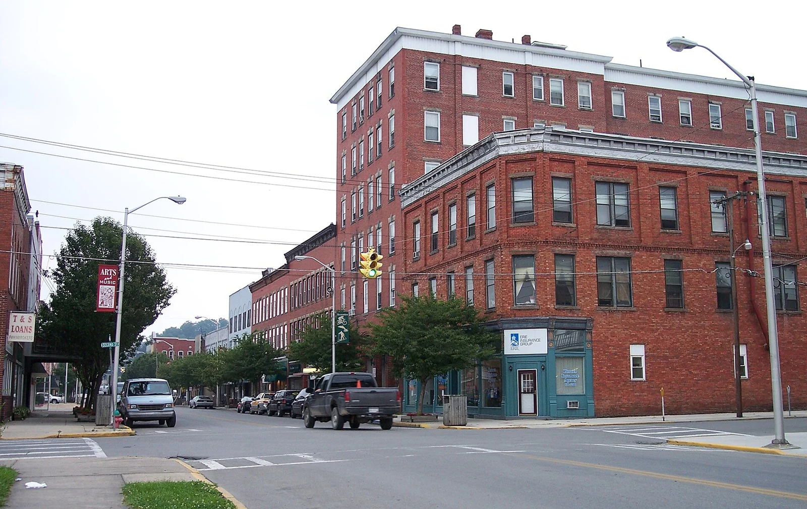
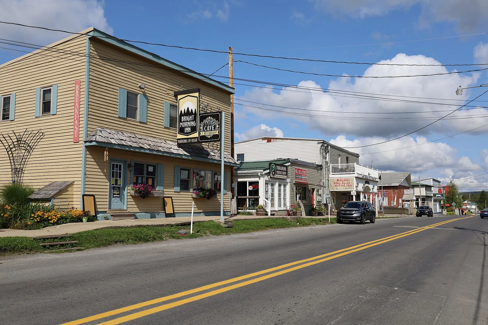
Seneca Rocks designated trail and viewpoint

Use regional visitor guidance and current land-manager notices to choose an appropriate designated route. Check elevation gain, footing and closures; a walking route is not permission or preparation for technical climbing.

Plan this visit ↗

Spruce Knob regional outing

Plan a separate mountain drive using public-land guidance. Confirm approach roads, weather and permitted paths; summit access and high-elevation conditions differ from the Seneca Rocks valley.

Plan this visit ↗

Eat & drink

Use the visitor portal to find current food and drink information around Seneca Rocks. Regional directories may cover several communities; confirm the address, opening, menus and reservations with the business.

Explore local dining ↗

Stay awhile.

Choose a base for your days around Seneca Rocks. Compare dates, location and the operator’s booking terms.

Local places to stay ↗

A little farther along.

Your next good stop.

Find a business. Put yours on the map.

Browse published places around Seneca Rocks. Business details are supplied by their owners.

Free Planner

A good plan starts here.

Plan my trip →

Your WTDO Butler

A little help along the way.

Ask Butler →
Photo credits & visitor sources

Real West Virginia photographs. Photo dates vary; images illustrate places, not current weather or operating conditions.

Independent visitor sources; inclusion is not a paid placement or an endorsement by the source.

County outlines: U.S. Census Bureau TIGERweb, West Virginia FIPS 54, all 55 counties. Simplified for display. Town markers show approximate centers, not attraction entrances or driving routes. These six WTDO areas are editorial discovery groupings, not West Virginia’s official tourism regions. Featured places are starting points, not an exhaustive inventory.

Your saved places