Artistry on Main
Choose a look at local artists’ work through the cooperative’s current visitor guidance. Confirm public opening, participating artists and separately scheduled classes or demonstrations.
Plan this visit ↗
North Central / Find your place
Local art · Riverfront intervals · Regional wildlife learning
Explore this area →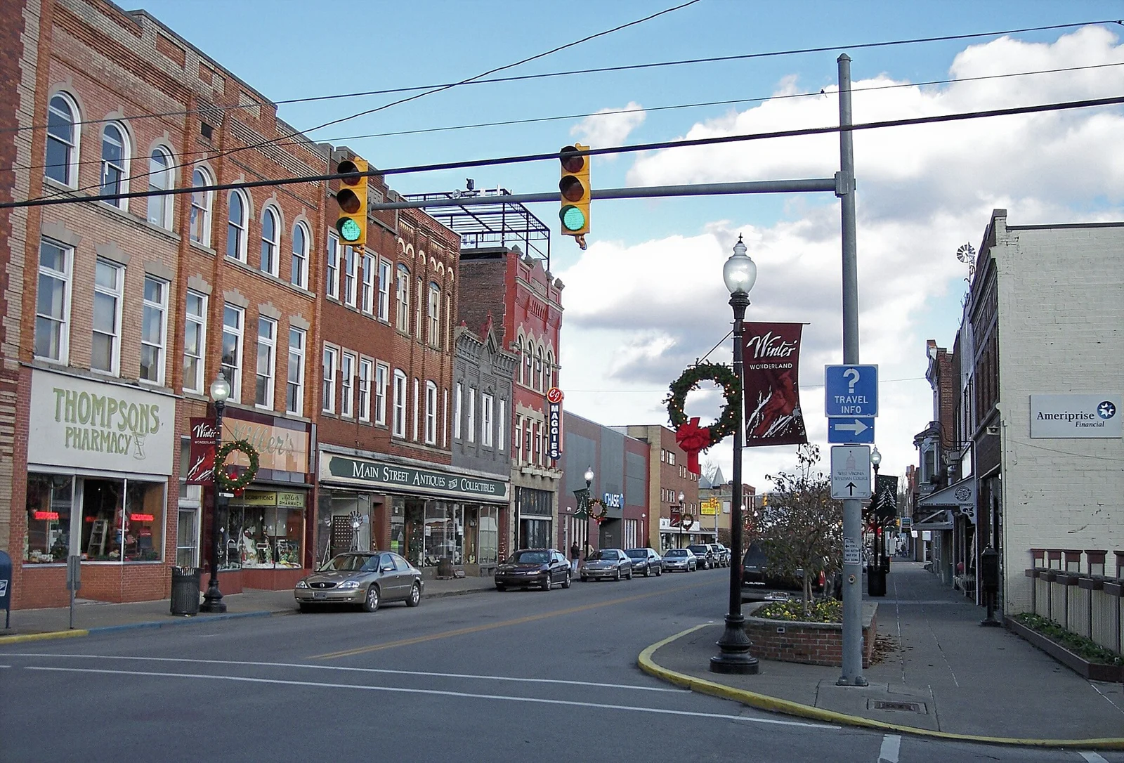
A place worth knowing
Slow down in Buckhannon with community art and a comfortable public walk, or plan a separate wildlife-center visit. The town center and regional attractions have different distances and access needs. Choose confirmed openings and leave room for a meal rather than promising every activity in one stop.
Choose a stop, then leave room for the unexpected.
Choose a look at local artists’ work through the cooperative’s current visitor guidance. Confirm public opening, participating artists and separately scheduled classes or demonstrations.
Plan this visit ↗Use city visitor guidance to choose a designated public route and currently open facilities. Confirm weather and event use; a riverside walk does not include boating or establish safe swimming.
Plan this visit ↗Plan a separate drive south to French Creek using state wildlife-agency guidance. Confirm public opening, admission and designated routes; this is a managed wildlife facility, not a promise of wild-animal sightings.
Plan this visit ↗Use the visitor portal to find current food and drink information around Buckhannon. Regional directories may cover several communities; confirm the address, opening, menus and reservations with the business.
Explore local dining ↗Choose a base for your days around Buckhannon. Compare dates, location and the operator’s booking terms.
Local places to stay ↗

Find a business. Put yours on the map.
Browse published places around Buckhannon. Business details are supplied by their owners.
Real West Virginia photographs. Photo dates vary; images illustrate places, not current weather or operating conditions.
Independent visitor sources; inclusion is not a paid placement or an endorsement by the source.
County outlines: U.S. Census Bureau TIGERweb, West Virginia FIPS 54, all 55 counties. Simplified for display. Town markers show approximate centers, not attraction entrances or driving routes. These six WTDO areas are editorial discovery groupings, not West Virginia’s official tourism regions. Featured places are starting points, not an exhaustive inventory.