Big Bend
Chisos at sunrise. River by evening.
Open this guide →
← Texas guide · National Park
Big Bend · A day that begins with one good stop.
See your first dayWhy this place matters
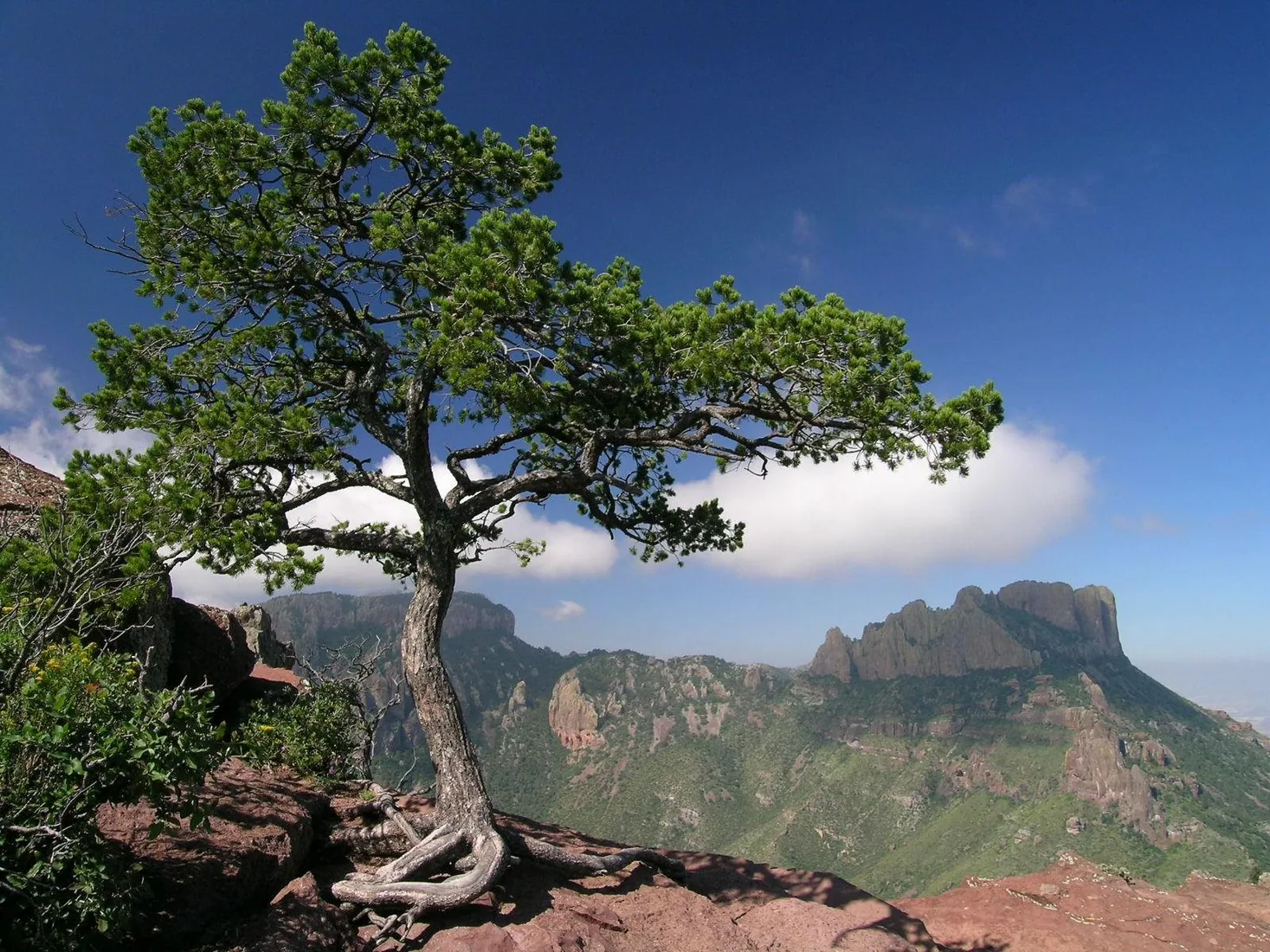
There is a place in Far West Texas where night skies are dark as coal and rivers carve temple-like canyons in ancient limestone. Here, at the end of the road, hundreds of bird species take refuge in a solitary mountain range surrounded by weather-beaten desert.
Read the full NPS story ↗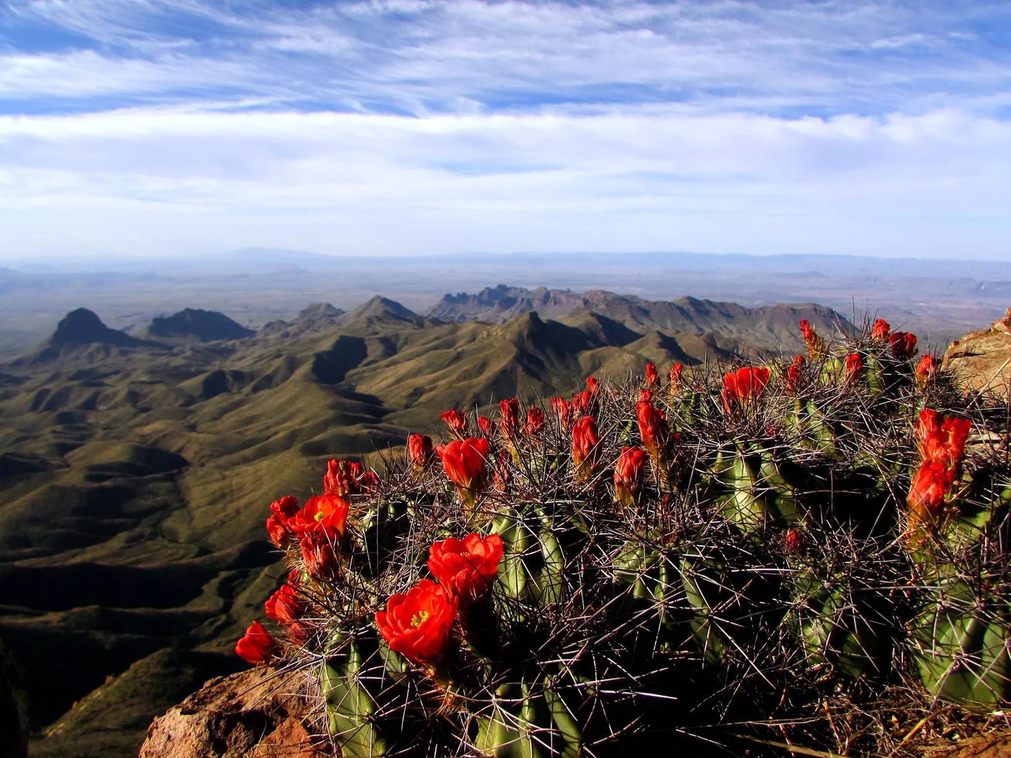
A flexible first day
These are ways to explore, not a timed itinerary. Check conditions before you set out.
Start in one district and build driving time into the day.
Add Santa Elena Canyon or a second landscape on another day.
Remote roads, heat, border-area rules, and water demand planning.
Find your bearings
Switch stops to see where this chapter sits in the wider state.
Outline: U.S. Census Bureau, 2023 cartographic boundary files. Points show guide starting areas and NOAA stations.
NOAA 1991–2020 · monthly normals
These stations show two parts of the state; neither is a forecast or necessarily local to this site.
No monthly snowfall normal is published for this station. Choose the other station to compare snow.
| Month | Jan | Feb | Mar | Apr | May | Jun | Jul | Aug | Sep | Oct | Nov | Dec |
|---|---|---|---|---|---|---|---|---|---|---|---|---|
| Value | 38.6 | 41.8 | 49.8 | 57.5 | 66.8 | 76.1 | 79.6 | 78.1 | 70.9 | 59.2 | 47.4 | 38.8 |
Normal = 1991–2020 average at the named NOAA station. Snowfall is new snow over a month, not snow currently on the ground. A blank NOAA snow series is shown as unavailable, never as zero. See current NOAA snow depth ↗
Weather changes the trip
Remote roads, heat, border-area rules, and water demand planning. The graph above uses a named NOAA station; conditions at this place may differ with elevation and weather. Check the local NWS forecast ↗
Keep exploring Texas
Connect a San Antonio food and culture day to the Missions, or build a separate Austin, Houston, or Dallas city break. See current events ↗
Make the trip yours
Tell WTDO your dates, where you start and how you travel. The first plan is free.
Plan this trip free