Padre Island
Let the Gulf choose the pace.
Open this guide →
← Texas guide · National Seashore
Padre Island · A day that begins with one good stop.
See your first dayWhy this place matters
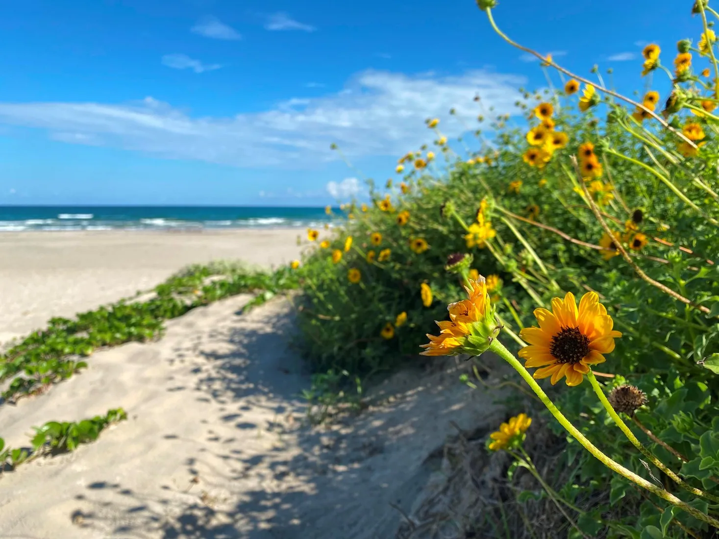
Protecting sixty-six miles of wild coastline along the Gulf of America, the narrow barrier island is home to one of the last intact coastal prairie habitats in the United States. Along the hypersaline Laguna Madre, tidal mud flats teem with life.
Read the full NPS story ↗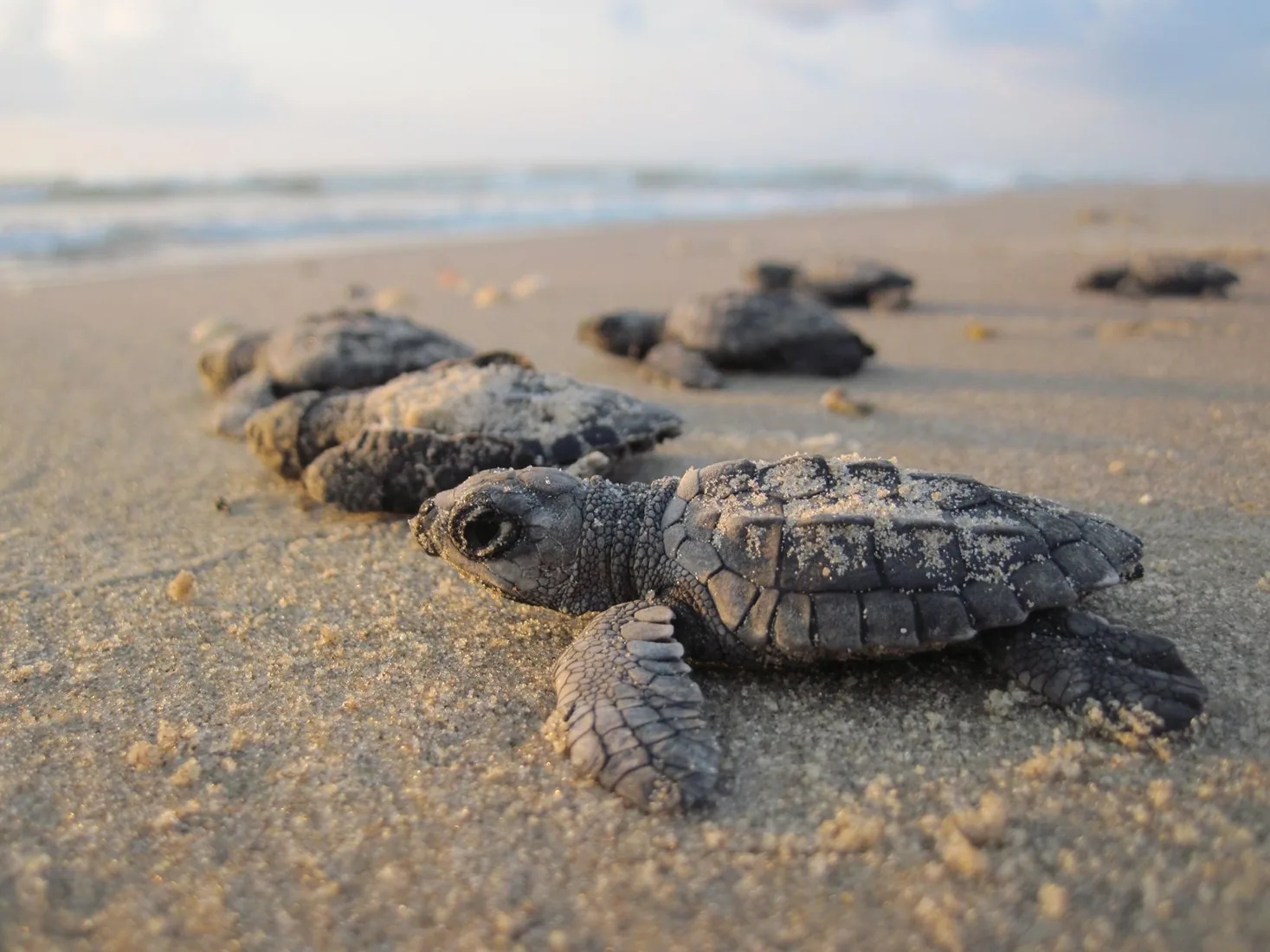
A flexible first day
These are ways to explore, not a timed itinerary. Check conditions before you set out.
Begin at Malaquite Beach and check current beach conditions.
Watch birds or join a program if available; take a longer drive only with the right vehicle.
Tides, beach driving, and nesting protections change.
Find your bearings
Switch stops to see where this chapter sits in the wider state.
Outline: U.S. Census Bureau, 2023 cartographic boundary files. Points show guide starting areas and NOAA stations.
NOAA 1991–2020 · monthly normals
These stations show two parts of the state; neither is a forecast or necessarily local to this site.
No monthly snowfall normal is published for this station. Choose the other station to compare snow.
| Month | Jan | Feb | Mar | Apr | May | Jun | Jul | Aug | Sep | Oct | Nov | Dec |
|---|---|---|---|---|---|---|---|---|---|---|---|---|
| Value | 47.8 | 52 | 59.6 | 67.1 | 75.4 | 83.3 | 87.3 | 87.3 | 80.1 | 69.1 | 57.8 | 49.5 |
Normal = 1991–2020 average at the named NOAA station. Snowfall is new snow over a month, not snow currently on the ground. A blank NOAA snow series is shown as unavailable, never as zero. See current NOAA snow depth ↗
Weather changes the trip
Tides, beach driving, and nesting protections change. The graph above uses a named NOAA station; conditions at this place may differ with elevation and weather. Check the local NWS forecast ↗
Keep exploring Texas
Connect a San Antonio food and culture day to the Missions, or build a separate Austin, Houston, or Dallas city break. See current events ↗
Make the trip yours
Tell WTDO your dates, where you start and how you travel. The first plan is free.
Plan this trip free